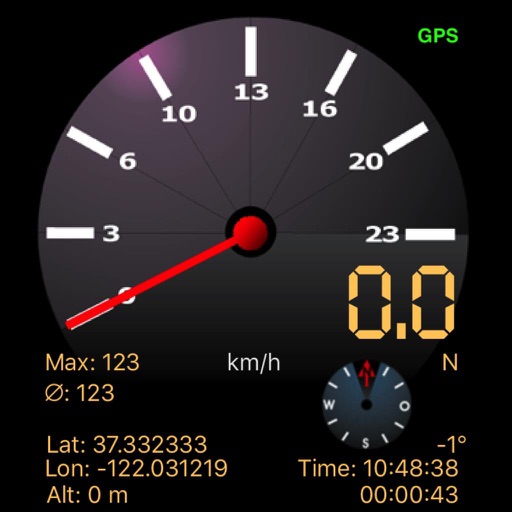
The app displays speed using GPS data, showing analog and digital readouts. It includes a compass, stopwatch, and supports multiple vehicle modes like Car, Airplane, and Sailboat.
by Kai Bruchmann★ 1.01 ratingsHealth & Fitness$0.99Data updated 2026-09-11
Customize dashboards with configurable gauges like speedometer, odometer, GPS altimeter, barometric altimeter, accelerometer, artificial horizon, compass, and elapsed time. Swipe to switch views and access real-time sensor data from iPhone or iPad.
The app displays current heading, course, speed, coordinates, and altitude. It offers street, topographic, and aerial maps, with cached maps available for a day.
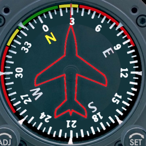
Provides real-time device orientation based on magnetic fields. Allows switching between true and magnetic north. Displays compass direction and azimuth. Includes declination information. Offers tilt sensitivity settings.
Displays a photorealistic -style indicator with both analog and digital readouts. Users can toggle rotation lock, simulate the instrument indoors, and view improved graphics. Supports latest iOS versions and includes bug fixes.
Check current using internal GPS and Wi-Fi data. View latitude and longitude in decimal degrees, degrees decimal minutes, and degrees minutes seconds. Suitable for trips, sports, geocaching, and solo travel.
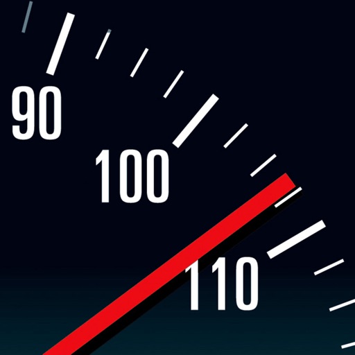
Monitor speed with analog and digital speedometers using GPS. Switch between units like km/h, mph, and knots. Set speed alarms to avoid exceeding limits. Adjust alarm settings and scale as needed. Control alarm activation and deactivation.
View current speed with a scalable . Track total distance and trip data including max and average speed. Export trip data as GPX, CSV, or KML files. Receive alerts when speed exceeds or falls below set limits.
Track speed with accurate GPS measurements and view average and maximum speed per trip. Choose units and monitor distance traveled and estimated travel time. Use turn-by-turn navigation to build routes.
Display current direction, altitude, latitude, and longitude. Show real-time barometric pressure and movement speed. Track geographic location. Switch between "Classic" and "Sunset" visual themes with premium color schemes.
View detailed maps of Norway with accurate trails, sea routes, and city navigation. Search locations and addresses. Use GPS for auto-rotating maps and compass. Download maps for offline use. No advertisements.
Check GPS and altitude of your current location. Tap to copy for pasting elsewhere. View current and saved locations in Maps. Share location via SMS or button. Bookmark current location with a name and access saved bookmarks with visit history.
Find hiking , bike routes, and nature spots in major cities. Get turn-by-turn directions by foot, bike, car, or public transit. Download maps and guide content for offline use.