Determine the direction for prayer using iPhone compass. Display angular difference as "Delta". Older devices require external compass for magnetic north alignment.
by Eric Da Cunha★ 4.76 ratingsLifestyle$2.99Data updated 2026-09-08
Predict satellite and ISS sightings with second-level accuracy. Track Starlink satellite trains. Set reminders for upcoming events. Show compass direction and elevation for precise viewing. Countdown to sightings second by second.
Displays current direction with a clear, minimal interface. Taps to reset orientation. Adjusts for magnetic declination automatically. Offers calibration and tilt sensitivity settings. Syncs with device sensors for accurate readings.
Displays current speed, longitudinal and transverse slope, and ascent/descent percentages. Switch between normal and HUD modes for windscreen reflection. Verify vehicle speed during cycling, running, flying, or sailing.
The app measures the elevation of locations within a 500-meter radius using device sensors and internet-based geo information. It calculates altitudes in real time and displays them in meter or feet.
Navigation allows users to view direction aligned with satellite imagery or maps. Displays street address, GPS coordinates, elevation, and What3Words codes. Taps switch between satellite and map views. Pinch or spread to zoom.
Align satellite dishes using augmented reality guidance. Follow step-by-step instructions to position the dish accurately. Utilize accelerometer and magnetometer data for precise alignment without a gyroscope.
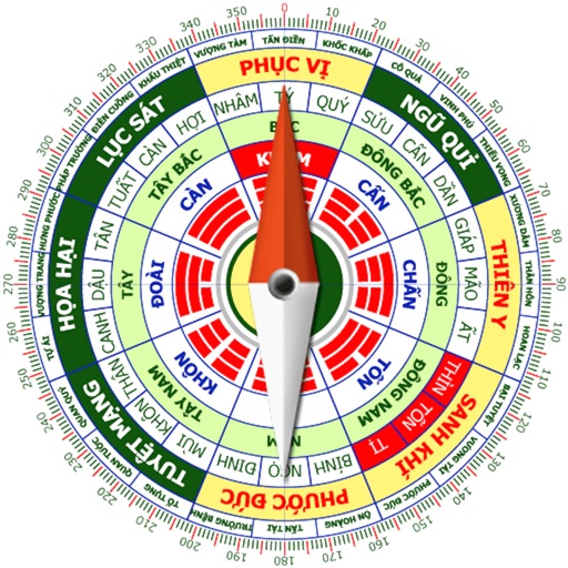
Calculate home direction using compass and grid layout. Determine optimal placement for furniture and objects. Analyze spatial energy flow and recommend adjustments for harmony.
Displays real-time direction and with a compass interface. Show average and gust speeds, along with hourly and daily forecasts. Search for any city to view data. Track patterns for current location.
Track prayer times based on location and direction. Set reminders for daily prayers. Include traditional texts and blessings. Display direction toward Jerusalem. Allow users to record and review prayer sessions.
Provides GPS altitude and pressure altitude readings. Displays speed in kph, mph, and knots. Measures barometric pressure in multiple units. Tracks acceleration in G forces. Shows location, magnetic, and true heading.
Calculate prayer times based on location or selected city. Receive visual and audio alerts for each prayer with customizable sound options. Change location manually or via GPS.
View real-time GPS maps and switch between map and views by holding the device. Track heading, , altitude, latitude, longitude, speed, and temperature. Use a for accurate navigation and monitor speedometer and temperature readings.
Track speed with a graphical dashboard and analog/numeric display. View current location, weather, and temperature in Celsius or Fahrenheit. Switch between kilometer and mile units. Customize dashboard colors and use an analog compass.
Track for Fajr, Dhuhr, and Asr based on your location. Set reminders for each . View daily schedules and adjust for travel. Sync with location services for accurate timing.
– uses AR to display a digital protractor and on the device screen. Users can precisely, calibrate the , and save measurements. The supports both indoor and outdoor use for accurate readings.
Find direction based on true north. Display compass and direction indicators. Support English and Arabic languages. No advertisements. Lightweight and simple interface for easy navigation.
Find and share locations with a map interface. Pin locations to view coordinates or addresses. Select transportation options to share real-time location updates. Quickly check current location or specific destinations with minimal clicks.
Calculate direction using compass and map views for accurate prayer alignment. Determine start and end times for Hajj, Ramadan, and Lailat-ul-Qadr based on location. Provide guidance on correct calculation as per Quranic principles.
Calculate groundspeed, true heading, compass heading, leg time, distance, fuel required, fuel flow, and endurance for flight planning. Convert airspeed, altitude, and temperature.
Save locations with exact GPS coordinates and altitude. View real-time weather and wind data. Use the compass for accurate direction tracking. Organize saved points and share coordinates directly.