The app plots the location of the Kodesh Hakodashim and uses the user's location and digital compass to point towards it. The word "Mizrach" lights up when users are in the vicinity of the correct direction.
by RustyBrick, Inc.★ 2.215 ratingsNavigation$0.99Data updated 2026-11-07
Navigate with compass, location, altitude, and speed
Navigation displays true and magnetic , current location, altitude, and speed. Users can track movement and view detailed compass readings. Features a clean, intuitive interface with a modern flat design.
Precision displays real-time directions with longitude, latitude, altitude, and barometric pressure. Includes easy calibration for accurate navigation. Tracks location and provides elevation data.
Mobilegion Yazılım Tasarım Ve Bilisim Sanayi Ticaret Limited Sirketi
Track and find nearby mosques
Track with daily schedules and remaining time until next displayed on home and lock screens. Find nearby mosques using location and Qibla direction. Follow live Kaaba position and use dhikr matic for recitations.
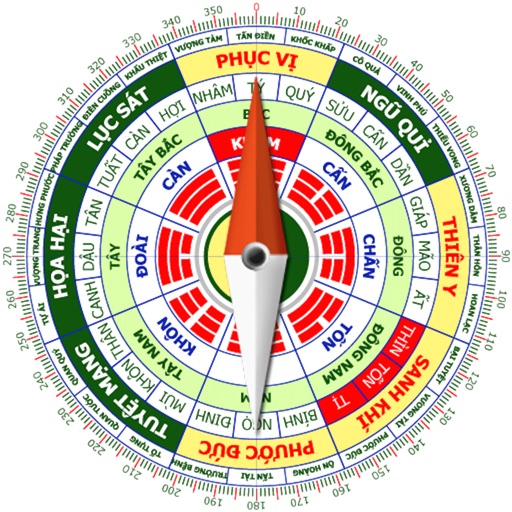
Calculate home direction using compass and grid layout. Determine optimal placement for furniture and objects. Analyze spatial energy flow and recommend adjustments for harmony.
Calculate groundspeed, true heading, compass heading, leg time, distance, fuel required, fuel flow, and endurance for flight planning. Convert airspeed, altitude, and temperature.
Calculate and Qiblah direction for any city worldwide. Track fasting and Sahoor for Ramadan 2026. Set Imsak schedules for abstinence. Display Hegira dates and save them in the calendar. Add events with Hegira dates. Locate Qiblah using Google Maps.
Track vehicle speed with a digital speedometer showing current, average, maximum speed, and total distance. Use offline mode for uninterrupted performance. Access two HUD modes for windshield display. Choose from 10 themes for customization.
Track boat movement with a showing direction. View current in knots, miles, or kilometers. Set limits and switch units. Display a map of your cruise route and share it. Log maximum and average .
Create designs with unlimited styling options. Choose from preset themes or save personal layouts. Add and resize pointers and stickers freely. Switch between magnetic and true North settings.
Customize dashboards with configurable gauges like speedometer, odometer, GPS altimeter, barometric altimeter, accelerometer, artificial horizon, compass, and elapsed time. Swipe to switch views and access real-time sensor data from iPhone or iPad.
Photos with GPS data including , time, weather, and compass. Share geotagged photos with contacts. Add map markers, latitude, longitude, and altitude to images. Stamp photos with date and time. Sync data with captured photos.
Determine Qibla direction using current location or manual city selection. Display compass rose with north indicator. Show direction on map. Adjust settings for display preferences. Provide feedback option for user input.