The app provides over 70,000 topographical maps from Natural Resources Canada and USGS. Users can view maps and search for over a million features without a network connection after downloading.
by Mappendix Limited★ 4.3129 ratingsNavigation$19.99Data updated 2026-11-06
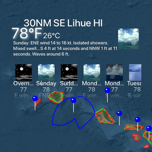
Land, roads, and bodies of water using satellite imagery. Calculate distances, areas, and perimeters. Add custom units for and . Draw interior polygons to exclude features like lakes.
The app provides GPS map navigation for outdoor adventures in UK National Parks. It offers online and offline modes with detailed charts, GPS tracking, and name searching.
Find attractions, restaurants, and park hours interactive . Search for specific locations, view details, and filter between dining and attractions. Add items to an itinerary and check magic hours and operating times.