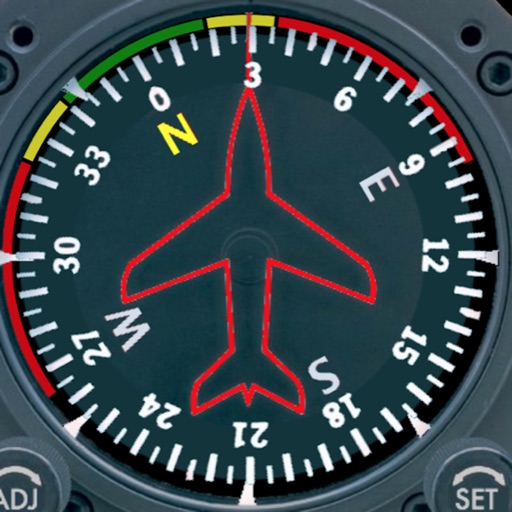
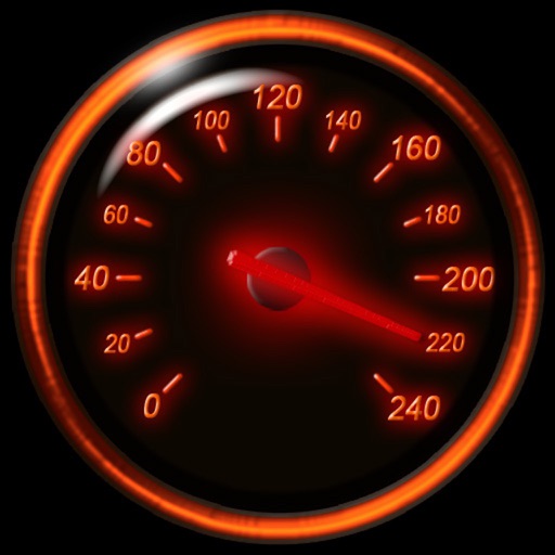
Displays a photorealistic -style indicator with both analog and digital readouts. Users can toggle rotation lock, simulate the instrument indoors, and view improved graphics. Supports latest iOS versions and includes bug fixes.
by Sean Flanagan★ 2.212 ratingsNavigation$0.99Data updated 2026-11-09
Displays current position via GPS with a map and sea level measurement in meters. Converts meters to feet using a calculator. Measures barometric pressure with a sensor for altitude tracking. Alerts for potential flooding.
EMPRESA MUNICIPAL DE TRANSPORTES DE VALENCIA, SOCIEDAD ANONIMA UNIPERSONAL
Plan routes with custom parameters
Users can set specific route parameters for navigation. The includes updated features for improved accuracy and reliability in route calculations. Bug fixes enhance overall performance and user experience.
View crew member photos, check gate and aircraft locations, and see reformatted CCS pages. Track break times and meal indicators. Access logbook and schedule details. Export or print schedules, sync with Apple Calendar.
Calculate takeoff, landing, climb, cruise, descent, and instrument procedure for Cessna 172 and 150. Include emergency glide distance with wind adjustments. Track hold parameters, analyze risks, and compute metrics for flight planning.
The app provides a detailed readout of GPS data, including speed and coordinates. Users can see an approximation of their current address if a GPS connection is available.
Adjust strings to precise frequencies with real-time Hz display. Access A4 temperaments between 392Hz and 466Hz. Use a virtual tuning fork and advanced settings for fine-tuning. Receive visual feedback via LED indicator and lit string display.
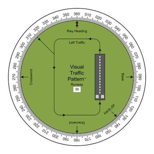
Allows pilots to view runway patterns with finger rotation. Display includes left and right patterns, crosswind, downwind, base, and 45-degree entry headings. Magnetic runway orientation matches aircraft heading for approach visualization.
Displays current , distance, direction, and altitude in MPH, KM/H, and KNOTS. Shows decimal values. Tracks top and average . Records and altitude data for the last few hours. Supports iPhone and iPad. Includes "speak " feature for audio feedback.
PRO helps users locate satellites by pointing their device skyward. It displays available satellites based on location. Users can search for satellites by channel name, radio name, or provider.
Measures humidity and calculates discomfort index.
The app measures relative humidity using GPS and displays it as a percentage. It calculates the discomfort index using humidity and temperature, and displays humidity in a badge.
The app displays detailed satellite imagery of the United States with offline map capabilities. It provides a moving map display using GPS tracking, labeling geographical features and points of interest.
A stopwatch with analog and digital displays, accurate to 1/100 of a second. Users can record multiple laps and copy lap times to the clipboard. Features include a metallic design and lap mode.
Tune guitars with real-time pitch display in Hz. Adjust A4 calibration between 415 Hz and 466 Hz. Use tuning fork and advanced settings via in- purchase. LED indicator lights up tuned strings automatically. Supports standard and drop D tunings.
Plan and manage flights with auto-routing and real-time data. Sync flight details between devices. View weather, airspace, and airport information. Log flight details and track progress. Share flight plans with others.
Track speed using iPhone's GPS. Display speed in mph or km/h based on region settings. Show max and average speed. Choose between digital and analog display styles. Monitor speed during car, bike, running, or riding activities.