

Apps Like GPS for iPhone and iPad
Access iPhone GPS functionality and more.
The app displays current heading, course, speed, coordinates, and altitude. It offers street, topographic, and aerial maps, with cached maps available for a day.
GPS screenshots
Ranked alternatives
Showing 841–860 of 1,000 ranked alternatives.


Air Map Israel
Ofer Raanan
Locate aircraft and track position
Displays device location as a plane with speed, direction, altitude, and geo data. Allows adding markers at specified distances or times along the flight path. Tracks movement on the map.

Sky-Map
Rolf Schade
Moving map navigation and flight planning.
The app displays the user's actual position on digital aviation charts. It offers flight planning, route saving, and calculation of distances, flight times, and fuel consumption.




Scenic Map Western Canada
Mark Granger
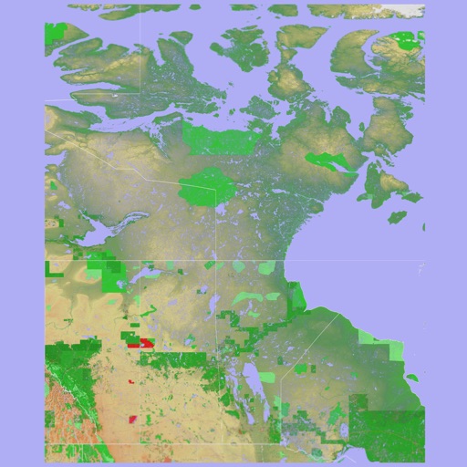
3D topo map of Western Canada
The app provides a 3D topographical map of Western Canada. Map data downloads to the device for use without an internet connection, allowing users to view terrain features as small as ten meters.




csv2tcx
Paul Barnard
Convert CSV to TCX activity files.
The app converts CSV files into TCX files for sports training services. It supports different units and displays various activity metrics.
Nifty Fifty
Alastair Orchard
Calculate average speed trap savings instantly.
The app calculates how much time can be saved by returning to the legal speed limit. It works with various average speed trap systems and continues to run in the background during calls.

66Maps
Oratu, s.r.o.
Explore peaks with augmented reality.
The app integrates mapping technology and augmented reality for outdoor experiences. It offers an offline peak database, AR peak visualization, and multiple map providers and types.


How we rank alternatives
Apps are ranked by functional similarity, category fit, rating confidence, and popularity.