

Apps Like GPS for iPhone and iPad
Access iPhone GPS functionality and more.
The app displays current heading, course, speed, coordinates, and altitude. It offers street, topographic, and aerial maps, with cached maps available for a day.
GPS screenshots
Ranked alternatives
Showing 661–680 of 1,000 ranked alternatives.


Walkme Portugal Trails
Marco Batista
Discover Azores and Sintra trails.
The app offers information on over 40 walks in the Azores and Sintra. It provides trail details, GPS maps, and planning tools for hikers.

GPSRecorder
Cyril Godefroy
Record location, track movement, geotag photos
Records position, distance, and duration during use. It tracks movement and geotags external photos. Users can review tracks on a map, view speed and distance, and export data as GPX files for other software.

SIGMA MOVE
SIGMA-ELEKTRO Gmbh
Log activities and reach fitness goals.
The app records speed, pace, time, and distance for outdoor activities using GPS. It also records fitness data for indoor activities without GPS and can be paired with the SIGMA RC MOVE Running Watch.


Radius Around Me
Hrishikesh Deshkar
Draw circles and markers on Google Maps
Create and manage custom circles on Google Maps with precise mile measurements. Add markers and save locations for real estate, delivery, or business planning. Export map data and share visualizations for location-based analysis.


Scenic Map Eastern Canada
Mark Granger
3D topographic map of Eastern Canada
The app presents a 3D topographic map of Eastern Canada. Users can download map data for use without an internet connection, suitable for various travel methods.



Skydive Altimeter
Greg Callaghan
Practice altitude awareness during dives.
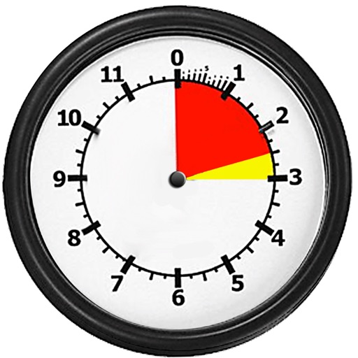
The app simulates an altimeter for skydiving students to practice altitude awareness. It supports metric and feet, configurable jump heights, and simulated audible alerts for different stages of a skydive.


How we rank alternatives
Apps are ranked by functional similarity, category fit, rating confidence, and popularity.