

Apps Like GPS for iPhone and iPad
Access iPhone GPS functionality and more.
The app displays current heading, course, speed, coordinates, and altitude. It offers street, topographic, and aerial maps, with cached maps available for a day.
GPS screenshots
Ranked alternatives
Showing 321–340 of 1,000 ranked alternatives.

Ski Buddy - Your Ski Tracker
Casper Riboe
Track ski runs and save trips
Track skiing performance with speed, altitude, slope, and distance data. Create and organize trips to store runs and view trip statistics. Access photos taken during the session. Customize screen layouts to focus on relevant data.


Find Me: GPS Coordinates +
Jason Attard
Get coordinates with GPS accuracy
Display and coordinates using iPhone GPS. View precise location data instantly. Features a clean interface for quick reading of coordinates. No unnecessary features or tabs.
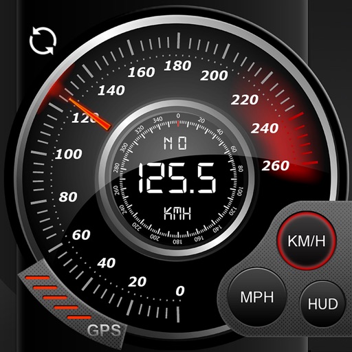
Speedo GPS Speed Tracker, Car Speedometer, Cycle Computer, Trip Computer, Route Tracking, HUD
Kevin Siml
Track , distance, and
Record data including , average , distance, altitude, and elapsed time. View real-time GPS tracking with longitude and latitude. Monitor statistics and save history. Sync with devices for offline navigation.

Maptrails
Pasi Salenius
Explore maps, track trails, navigate outdoors
View topographic, nautical, and aerial maps. Save locations as markers syncing across devices via iCloud. Measure distances, draw paths, and use Look Around to navigate. Explore preloaded maps for hiking, hunting, and outdoor activities.

Measure Map GPS Field
Tigran Mkhitaryan
Areas and routes on the map
Distances, areas, and routes on maps using standard, satellite, terrain, and hybrid views. Calculate total area between points or along a route. Display coordinates in UTM and MGRS formats.

myTracks - The GPS-Logger
Dirk Stichling
GPS logger for iPhone and Watch
The app functions as a GPS logger using an iPhone or Apple Watch. Users can display GPS recordings on maps, set waypoints, and add photos to tracks.


GPS Maps Camera
KRUTAGNA INFOTECH
Capture photos with GPS and map data
Capture photos with integrated map data and weather information. Adjust settings including grid, aspect ratio, and manual map options. Edit images with map overlays and share directly.
Coordinates Total
Le Vu
Get and store geographic coordinates easily.
The app displays latitude and longitude coordinates in multiple formats. Users can view maps, add photos, and manage coordinates in selected.


Geographica | offline map
keiji matsumoto
Offline GPS navigation for outdoor adventures.
The app provides offline GPS navigation for hiking and mountaineering, displaying the user's location on topographic maps. It allows users to record their routes and works without cell service.


Odometer Miles Log Miter Track
CEBINDEKI PAZAR E-TICARET ALISVERIS HIZMETLERI SANAYI VE TICARET LIMITED SIRKETI
Speed in mph, km/h, and knots
Display current speed in mph, km/h, or knots with large fonts. Show traveled distance and optional average/max speed. Include city name and compass. Use GPS for accurate speed tracking. Switch between base maps for driving visibility.


Maps Anywhere: Offline GPS
Ali Mert TUFEKCI
Track location, map terrain, and navigate safely
Track location and navigate back to a marked waypoint using directional guidance. Measure distance to the waypoint in meters. Save multiple waypoints for future reference. Share coordinates with others for group navigation.

How we rank alternatives
Apps are ranked by functional similarity, category fit, rating confidence, and popularity.