Apps Like iNavX: Marine Navigation for iPhone and iPad
Navigate with real-time charts and weather data
Access charts, maps, weather data, and AIS information. Navigate with worldwide chart coverage from multiple providers. View real-time weather and track vessel position. Set waypoints and measure distances between points.
by NavX Studios LLC★ 4.821,649 ratingsNavigationFreeData updated 2026-09-08
View current conditions and sea surface temperatures on a detailed map. Pan and zoom to explore data locally or globally. Check temperature, precipitation, and details. Share information with others.
Navigation allows users to create and edit flight plans on a map, sync flight data with .com, and access NavLogs for offline use. It includes Weight & Balance profiles, eLogbook entries, and Checklists.
Navigate with marine and outdoor offline. Overlay satellite and terrain data on charts. Access local weather forecasts. View worldwide and satellite imagery when connected. Use NOAA raster data for detailed navigation.
Plan routes from dock to dock with live weather data, wind, tides, and clearance heights. Find marinas, anchorages, and berths. Adjust sailing areas for motorboats, sailing boats, and rowing boats.
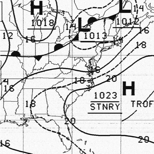
Receive and display marine fax images using HF radio audio. Connect via Bluetooth or audio input. Tune to fax frequencies. View real-time reports without internet.
Plan routes and navigate with detailed topographic maps. Find public and private outdoor access points. Book fishing and hunting adventures. Scout trails and track progress. Support charitable causes through in- donations.
Track performance in sailing, kitesurfing, windsurfing, snowkiting, and landkiting. Record jump height using iPhone or Apple Watch with drone-inspired algorithms. Organize races for championships or training.
The app provides information on 800 ports across the Mediterranean, Baltic Sea, and New Zealand. It includes photos, descriptions, harbour maps, weather forecasts, wind information, and safety details for boaters.