The app displays real-time altitude in meters or feet using a GPS signal. It automatically detects the user's location and shows altitude, name, address, latitude, and longitude on a map.
Send DeathCall requests to transport drivers with options to include embalming or cremation services. Get automatic price calculations and billing. View driver progress with logo linked to your website.
Convert between decimal degrees, degrees and decimal minutes, and degrees-minutes-seconds. Display all three formats simultaneously. Enter in any format for instant conversion.
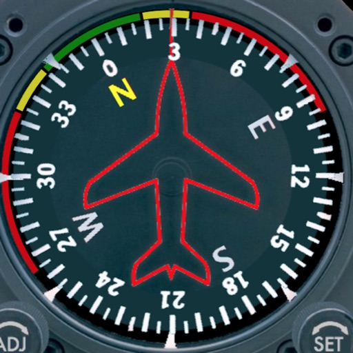
Provides a backup flight display with attitude indicator and heading indicator. Displays critical flight data during instrument failure. Allows pilots to monitor aircraft orientation and direction. Integrates with GPS for accurate navigation.
Manage altitude with customizable VNAV settings for precise control. Set altitude alerts and use ALT HOLD mode for minimal setup. Track vertical navigation parameters and adjust flight paths accordingly.
Calculate hold-over time using FAA or Transport Canada guidelines. Input de-icing fluid types and select temperature units. Retrieve results instantly without manual lookup. Sync with electronic flight bag systems.
The app displays over 15,000 take-off and 4,000 landing sites on an interactive map. It includes public transport data for Switzerland and integrates worldwide webcam feeds for weather observation.
Track flights in real-time with flight details, aircraft models, and live positions. View flight paths, altitudes, and speeds. Receive notifications for takeoffs and landings. Access historical flight data and aircraft information.
Displays a photorealistic -style indicator with both analog and digital readouts. Users can toggle rotation lock, simulate the instrument indoors, and view improved graphics. Supports latest iOS versions and includes bug fixes.
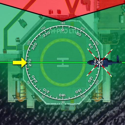
The app provides over 12,000 helicopter landing sites across 120 countries. Users can search, filter, and contact sites to arrange landings and confirm PPR.