Track vehicle speed with a digital speedometer showing current, average, maximum speed, and total distance. Use offline mode for uninterrupted performance. Access two HUD modes for windshield display. Choose from 10 themes for customization.
The app provides aviation weather information for Germany and Europe. It includes METAR, TAF, meteograms, cross sections, weather warnings, and forecasts up to 78 hours.
The app supports glider pilots during competitions, cross-country flights, or recreational flights. It offers features like a final glide calculator, terrain map, and airspace warnings.
Track flight paths and waypoints. Display real-time GPS data and altitude. Set navigation targets and receive turn-by-turn guidance. Monitor weather conditions and air traffic. Save and share flight logs. Sync with external devices for telemetry.
Calculate fuel and weight for Boeing 787 and Airbus A350/330 flights using Sabre flight plans. Input data from the flight plan front page and update with desired or actual loads.
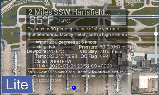
View real-time Digital data for US airports without an account. Receive push notifications for updates. Check current weather, wind, visibility, and runway conditions. Access detailed airport information instantly.
Allows users to input required data to compute and allowance times. It verifies duration and provides accurate results. Users can track and manage periods efficiently.
Navigation provides real-time positioning using iPhone/iPad sensors. Displays maps and routes. Offers -and- interface. Uses digital filtering and stochastic models for accuracy. Only functions in airplanes.
The app provides aeronautical publications and aviation maps for international use. Users can see their position on maps and download documents for offline access.
Plan routes, share locations, and navigate off-grid
Plan and execute missions with real-time GPS navigation, coordinate teams through integrated communication tools, and manage tasks with mission-specific software. Track location, receive alerts, and access offline maps for remote operations.