
Wialon
Gurtam Inc.
Monitor fleet data in real time
Monitor vehicle movement, ignition status, and location in real time. Send commands like messages and route instructions. View tracks with speed, fuel data, and other metrics on a map.

Showing 241–260 of 1,000 ranked alternatives.
Gurtam Inc.
Monitor fleet data in real time
Monitor vehicle movement, ignition status, and location in real time. Send commands like messages and route instructions. View tracks with speed, fuel data, and other metrics on a map.


Mapnitude Company Limited
Sun Moon Twilight Navigation Tool
The app provides real-time Sun and Moon data, including sunrise, sunset, moonrise, and moonset times globally. It features a time-chart and interactive map for accessing celestial data and exploring seasonal shifts.

Dimitris Papadopoulos
Altitude and context at a glance.
The app shows current altitude, latitude, longitude, and heading. It also provides weather data including temperature and atmospheric pressure.

Renji Mathew
Track flights and manage trips easily.
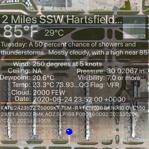
The app provides live arrival and departure boards with flight tracking for John Wayne Airport. It offers tools to find alternate flights and includes a packing checklist for travelers.

Christoph Schulz
Track location, speed, and heading
Track location, speed, altitude, and heading using built-in GPS. Customize with widgets for quick access. View real-time movement data and adjust settings for navigation.


Alexandre Menai
Plan flights, check weather, track airspace
Plan flights with AI-driven weather analysis and global airfield data. View METAR and TAF reports. Use hands-free mode to listen to briefings. Set flight routes and check airspace restrictions. Sync with aviation databases for real-time updates.

Sakhalin, LLC
Navigate with chart support and AIS data
View nautical charts in S-57, S-63, iENC, and BSB/KAP formats. Use external NMEA/AIS data over WiFi. Display official HO S-57/S-6 charts. Navigate river, channel, and harbor routes. Access real-time positioning and vessel tracking data.
Optobyte AG
Calculate air density in real time
Calculates air density, relative humidity, and air pressure automatically. Displays geographic position, temperature, dewpoint, elevation, and barometric pressure. Supports airport and manual input modes.


Aerovie, LLC
Monitor weather and track flight data
Provides pilots with synthetic vision, TAWS, and VFR/IFR charts. It includes geo-referenced approach plates and ADS-B traffic monitoring. Users can transcribe and playback radio communications with speech recognition.

Corporate Aircraft Association
Find FBOs and plan routes
Pilots can search for FBOs and plan stops along flight routes. The provides discounted jet pricing from CAA Preferred FBOs. Users can compare prices and optimize flight routes for cost efficiency.


Apps are ranked by functional similarity, category fit, rating confidence, and popularity.