Create 3D models of objects, scenes, and indoor spaces using LiDAR technology. Capture detailed scans, adjust scan settings, and export models in supported formats. Import scans into design software for further editing.
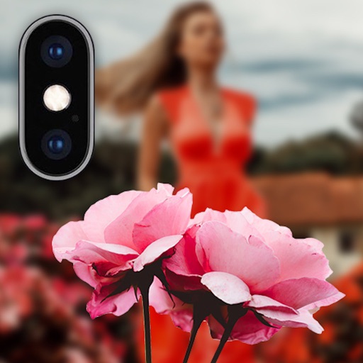
Allows users to apply effects to backgrounds. Select images from the gallery or capture new photos. Use multiple blurring tools to adjust the effect. Export edited images directly.
Create videos from text, images, or ideas using AI. Apply 120+ AI effects for artistic, cinematic, or realistic styles. Edit and animate clips with intuitive tools. Export final videos in multiple formats.
Play 3D and media with high-resolution visuals. Adjust viewing angles and control playback settings. Use the included 3D screen protector for enhanced 3D viewing without compromising 2D display quality.
Create 3D layouts with precise measurements. Measure distances and surface areas using augmented reality. Export scans as PDF or other file formats for easy sharing and reference.
Capture photos from the device camera or select from the library. Apply over 60 design effects to images. Save edited photos to the library or share them on social networks.
Backgrounds using artificial intelligence for quick depth effects and portrait mode. Adjust intensity manually. Unblur photos if needed. Share edited images directly to Instagram.
Calculate of and distance detailed simulations. Adjust lens configurations to simulate out-of-focus . Include diffraction effects and support for extreme telephoto lenses up to 5000 mm.
Scan properties using LiDAR to create accurate, editable floor plans instantly. Capture and analyze property data with AI-powered insights. Export and share scan results directly.
Save photos with GPS location and timestamp. Set names and dates. Share photos directly. Search for places and export to Photos . Includes iMessage sticker and widget for quick access.
Capture and manage photos with geo-referencing features. Each image includes GPS, bearing, and descriptive metadata. Upload and organize unlimited visual data. Document construction projects with timestamped and location-tagged photos.