

Apps Like 3D Map New Zealand for iPhone and iPad
3D Map New Zealand screenshots
Ranked alternatives
Showing 421–440 of 1,000 ranked alternatives.
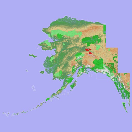
Scenic Map Alaska
Mark Granger
Explore 3D topo maps offline
View 3D topographic maps of offline with vector data. Navigate by car, boat, plane, or on foot. Access worldwide satellite maps online with automatic caching. Toggle between map types and zoom to any location.


Swiss3D Pro
Louis-Joseph Mayoraz
Switzerland in 3D offline
The app provides an offline 3D map of Switzerland. It reconstructs the surrounding landscape and displays peaks, towns, lakes, and celestial bodies.

Altimeter GPS+ (Speedometer)
Tigran Mkhitaryan
Share location links instantly
Track elevation and climb rate in real-time. Calibrate altitude settings and check GPS accuracy. Send location links via SMS for easy sharing and navigation assistance. View maps in web browsers for location tracking.

Tactical Navigator
Orange Clover LLC
Navigation for outdoor enthusiasts and military.
The app provides navigation tools for communications, operations, and outdoor planning. It includes a compass, multiple coordinate systems, weather conditions, and route calculation features.


Maps Anywhere: Offline GPS
Ali Mert TUFEKCI
Track location, map terrain, and navigate safely
Track location and navigate back to a marked waypoint using directional guidance. Measure distance to the waypoint in meters. Save multiple waypoints for future reference. Share coordinates with others for group navigation.

GBTopoMap
Right Place Resources Limited
Pan and zoom maps offline
Provide offline topographic maps of Great Britain with pan and zoom capabilities. View detailed terrain features and scale at 1:25k. Use for outdoor activities like hiking, cycling, and hunting in areas without cellular coverage.

MapPath Pro
Julien Roze
Record, measure, and track trips.
The app records user trips, displaying tracks, position, and live information like speed and altitude. It also measures distances, areas, and perimeters by placing points on the map.


Scenic Map Central USA
Mark Granger
Explore 3D maps offline worldwide
Navigate with a 3D topographic map of the USA. View detailed terrain and vector data offline. Use in vehicles or during outdoor activities. Access global maps online with automatic caching for offline use.


Whistler Area Ski Maps
Ryan Robertson
Navigate trails with topographic
View topographic and thematic of ski areas including Blackcomb and Olympic Park. Access trail descriptions and elevation profiles. Use location features to see current position on .

Best Route Optimizer
Oliver Kuehne
Find the optimal route now.
The app calculates an optimal route for multiple destinations, saving users time and reducing travel distance. It allows destination entry via contact list, map, addresses, GPX, or photos, and exports routes to various navigation apps.

FootMark - Route recorder
景灯 梁
Record photos with GPS location
Record routes for walking, running, or traveling. Manually adjust positions along the . Add GPS coordinates to photos without using photo editors. Track movement and save location data for later reference.
How we rank alternatives
Apps are ranked by functional similarity, category fit, rating confidence, and popularity.