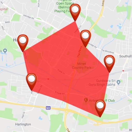
Track units in real time with location, movement, and ignition status updates. View unit data and geofences on a map with location detection. Monitor precise location and parameters using tracking mode. Manage unit lists and check data accuracy.
Display real-time speed with a digital interface and set speed alerts. Track routes on a built-in map, save trip history, and export tracks in GPX format. Switch between light and dark themes.
The app surveys land using GPS signals for precise results. Users can unlock full area measurement capabilities through a purchase, while free use provides side lengths and circumference.