

Apps Like Speedometer X GPS speedometer for iPhone and iPad
Track speed, distance, and average speed
Measure speed using GPS with a digital , head-up display projection, and tracking of average speed, distance, and travel time. Log data offline, adjust settings, and access a user-friendly interface for one-handed use.
Speedometer X GPS speedometer screenshots
Ranked alternatives
Showing 601–620 of 1,000 ranked alternatives.

EarthMeter
Hartwig Wiesmann
Calculate distances and areas on Earth.
The app calculates distances, areas, and circumferences using algorithms that account for the Earth's curvature. It also converts position coordinates between different coordinate systems and supports various geodetic datums and projection methods.


Easy Speed
Gaetano Causio
See speed without draining battery.
The app uses a low energy tracking system to show current speed without draining the device battery. It has a big display and supports cycling and sailing.
Loadstone GPS
Shawn Kirkpatrick
Navigate using voice-guided directions
Provide turn-by-turn navigation from current location or any starting point to a destination. Access a global database of locations including transit stops and user-shared points. Create and save custom routes.

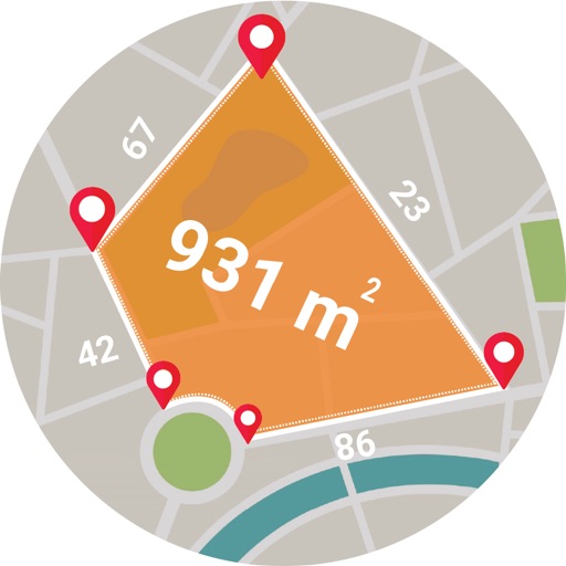
Live GPS Land Area Calculator
Muhammad Asad Khan
Measure areas and distances with GPS
Calculate areas, plots, and distances using GPS technology. Draw and map regions on a map. Measure perimeter and of custom shapes. Save and share measurement data. Export maps in various formats.


Pro Map Tools
GV Software Solutions Limited
Measure distances, share maps as images
Lets users measure distances and areas on maps. They can plot radius areas with specified centres and sizes. Share maps as images to show routes, areas, or radii. Adjust colors and export map views.


SityTrail
Geolives Belgium S.P.R.L.
Discover paths around the world free.
The app records user trails with HD, geo-tagged pictures and tracks distance, speed, and calories. It offers an alarm for off-path deviations and automatic points of interest triggering with text-to-speech.


flyguide for crew
Novamedia LLC
Detailed satellite imagery for crew.
The app displays detailed satellite imagery of the United States with offline map capabilities. It provides a moving map display using GPS tracking, labeling geographical features and points of interest.

GPS Fields Area Measure App
Gohel Prakashbhai
Areas, track routes, and navigate efficiently
Calculate distances and areas using GPS. route lengths and track movement. Access GPS Camera, Compass, and Speedometer for navigation. View Satellite, Normal, Terrain, and Hybrid maps. Locate nearby points of interest and monitor live positions.
Geocaching Toolkit iGCT Pro
WA Verhoef
Toolkit for typical geocaching tasks.
The app provides tools for geocaching tasks such as waypoint projection and calculation. It can also convert between number systems and perform various encryption and decryption methods.

Trip Tracker – GPS Speed Log
Hiep Pham
Track trips, record data, visualize routes
Records trips automatically, tracking distance, duration, elevation, top , and overspeed events. Displays data on a map with visual markers for parking, top , and overspeed points. Allows users to save trips and view detailed summaries.

日本 旅遊會話一指搞定(Point and Learn Japan Travel Conversation)
Brain Corporation
Travel conversation made easy for Japan.
The app provides useful travel phrases and a picture wordbook with voice. Users can easily find expressions and words for their trip, with quick access and a user-friendly interface.
How we rank alternatives
Apps are ranked by functional similarity, category fit, rating confidence, and popularity.