Navigate with detailed interactive maps covering Canada, the USA, the UK, Germany, and Australia. Access aerodrome and airport data, airspace restrictions, and flight planning tools.
by Elilan Ganesathas★ 5.03 ratingsNavigationFreeData updated 2026-09-06
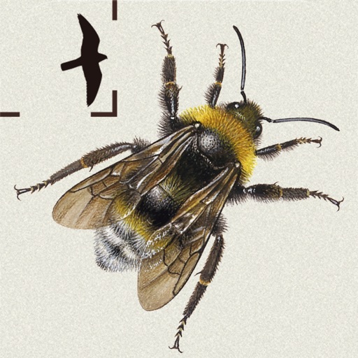
The app provides detailed identification for all 23 bumblebee species in Britain and Ireland. It features color plates, photos, videos, and illustrations to aid identification for beginners and experts.
The app presents tide forecasts for numerous gauges in Germany and selected stations in other European countries. It provides high and low tide information, tide change indications, and weather details for forecast tide events.
The app calculates and interpolates performance data for the Arrow IV using pilot's operating handbook values. It computes mass and balance, takeoff and landing distances, climb data, cruise altitude, and stall speeds.