Navigate with detailed interactive maps covering Canada, the USA, the UK, Germany, and Australia. Access aerodrome and airport data, airspace restrictions, and flight planning tools.
by Elilan Ganesathas★ 5.03 ratingsNavigationFreeData updated 2026-09-06
The app provides approximately 365,000 headwords, phrases, and translations between Italian and German. It functions offline, making it suitable for travel and everyday use, and includes recordings by native speakers.
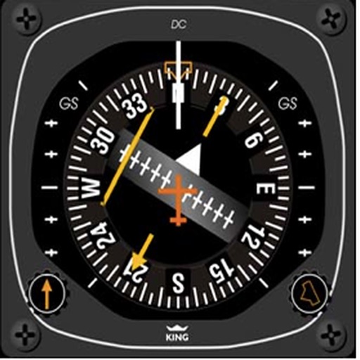
Test knowledge of systems with multiple choice quizzes on ADF, VOR, DME, NDB, HSI, and RMI. Practice positioning, holding patterns, and standard procedures. Track progress and reinforce understanding of instrument flight techniques.
View global news events on an interactive 3D globe or 2D map. Automatically extract and display geographic locations from news sources. Switch between standard map, satellite, and hybrid views. Cluster news in dense areas and tap to expand details.
Calculate aircraft weight and balance. Plan flight with detailed data. Manage flight data and compute OGE ceiling with graphical display. Use integrated E6B with world map and GPS for course and time calculations.