Share real-time locations and travel history of contacts. Set custom sharing periods and permissions. Receive alerts for location changes and emergencies. View detailed maps and movement history. Invite contacts to share locations securely.
The app provides ski resort information including trail maps, weather, snow reports, and live cameras. It features GPS tracking to record skiing activity, analyze performance, and share achievements with friends.
Track location and movement with GPS. View USGS, US Forest Service, and Canadian . Log trails and waypoints. Navigate offline in areas without cell signal. Display elevation and terrain details. Share route data and historical tracks.
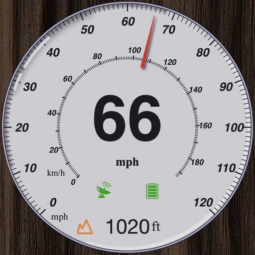
GPS measures and displays speed for walking, jogging, cycling, cars, boats, trains, and airplanes. Users can select display units and choose between two scales. Trip recording and average speed tracking are available.
The app records speed, pace, time, and distance for outdoor activities using GPS. It also records fitness data for indoor activities without GPS and can be paired with the SIGMA RC MOVE Running Watch.
Track outdoor activities with stats, photos, videos, and maps. Log details for hiking, biking, skiing, kayaking, or road trips. Add descriptions and share adventures with others. Syncs with GPS devices and saves media directly.
Manage access to passes for ski touring, split boarding, and snowshoeing across New . View pass locations, check operating hours, and track snow conditions. Share pass details with others and receive updates on trail status and maintenance schedules.
The app presents the Central Swabian Alb, a region offering nature, culture, and scenic villages. Users can explore karst landscapes through hiking, cycling, or horseback riding, with options for skiing and city walks.
Activities detailed statistics and charts. Monitor real-time location and speed of friends and other skiers. Access high-accuracy positioning and detailed maps. View weather data and advanced tracking features.
The app supports users in avalanche risk areas with trip planning and on-site condition verification. It displays risk levels, provides links to danger reports, and includes slope angle measurement.
View topographic of for hiking, camping, and outdoor activities. Choose between Base Map and Toporama sources. Download for offline use. Track location, elevation, and movement on the map.