
Crowsflight
CW&T Studio LLC
GPS compass points to destination.
The app provides mapless navigation using GPS and compass data. It allows users to drop markers, search for destinations by address or placename, and view locations on a map.

Showing 181–200 of 1,000 ranked alternatives.
CW&T Studio LLC
GPS compass points to destination.
The app provides mapless navigation using GPS and compass data. It allows users to drop markers, search for destinations by address or placename, and view locations on a map.

RAYO INNOVATIONS PRIVATE LIMITED
Locations and share them
Locations with a single tap for precise GPS marking. Share saved locations with contacts. Access locations online or offline. View saved places on a map. Edit or delete saved locations.


CHENGDU MIAOZHI TECHNOLOGY CO., LTD.
Track speed and journey details
Track speed, distance, altitude, and heading using GPS. View latitude and longitude coordinates. Monitor sunrise and sunset times. Record acceleration data. Save journey logs for later review. Share trip details via email or social media.

I Heart Travel Inc.
Explore photo spots with maps and directions
Explore 110 favorite photo spots with maps, directions, and detailed descriptions. View photos and read descriptions. Navigate without cell signal. Download the for use.





Redkoala Solutions Ltd
Your car with saved locations
Save car locations using GPS without maps. cars with a pointer without maps. Set map rotation for better orientation. Enable location history for past saves. Access advanced settings for customization.

Natural Atlas, Inc.
Navigate with detailed and track your routes
Navigate using detailed original and measure routes. Check weather and save places to go. Build an atlas of trips with offline and field guide data. Generate trip video reels and save offline tides information.

Mapgears Inc.
Track trips and list equipment details
Track trips with breadcrumb navigation, speed, and distance statistics. Log equipment details and note vehicle-specific distances. Access satellite view for enhanced map visibility and navigation tools.

TrailAware, Inc.
Navigate with real-time maps
Navigate with real-time geospatial mapping and offline access. View detailed trail information, including elevation and difficulty. Mark favorite routes and receive turn-by-turn directions. Sync with GPS devices for accurate positioning.


virtualmaze
Navigate with turn-by-turn guidance
Navigate with turn-by-turn instructions and real-time guidance. Choose routes for car, motorbike, bicycle, or walking. Add way-points for optimized paths. Locate nearby hotels, restaurants, hospitals, and ATMs .

MiraTrex, Inc
Navigate with real-time GPS tracking
Track location and navigate using GPS. View real-time map movements. Share location with other hunters. Manage hunting areas and group activities. Access downloadable USGS topographical charts. Set and follow navigation points.


Streetline, Inc.
, route, arrive
Available spots with real-time guidance. Route to on-street and off-street lots. View pricing, time limits, and restrictions. Pay using ParkMobile, Passport, or Pay-by-Phone where available.

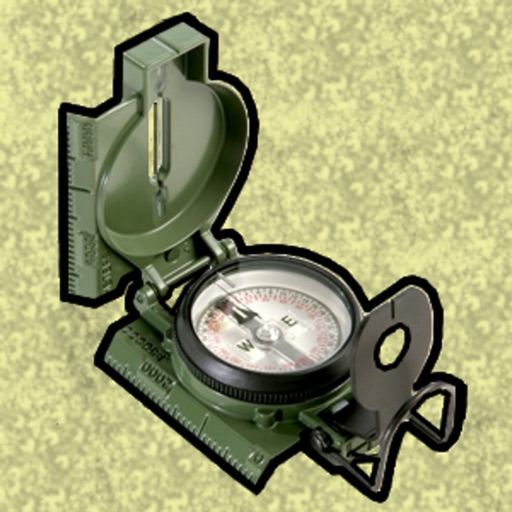
Gammon Applications, LLC
Navigate using MGRS or coordinates
Enter MGRS or coordinate data to navigate to specific points. Adjust pace count and track deviations. View distance, speed, and angle settings in meters/km or feet/miles. Analyze movement patterns for navigation improvement.
Apps are ranked by functional similarity, category fit, rating confidence, and popularity.