Find nearby stations and check real-time bike availability. Unlock bikes at stations and receive trip notifications. View cycling routes and plan journeys. Earn rewards and redeem free rides for friends.
Track speed, distance, altitude, and heading using GPS. View latitude and longitude coordinates. Monitor sunrise and sunset times. Record acceleration data. Save journey logs for later review. Share trip details via email or social media.
Unlock city bikes in by locating available stations and checking lock availability. Save trips to Apple Health for activity tracking. Manage account settings and access Health integration through the .
Track real-time locations of vehicles, trailers, boats, and personal items. View multiple devices on a single map with dynamic zoom and auto-follow features. Set up tracking for family members or assets.
Unlock bikes from stations across the city. Purchase subscriptions, locate nearby bikes, and contact support for assistance. Save trips to Apple Health for activity tracking. Manage account settings and access health data through the .
Unlock bikes at 220 stations using GPS. Locate nearby bikes and stations. Start a ride with one tap. View real-time maps and traffic. Track trip distance and time. Pay for rides via . Receive notifications about availability and service alerts.
View workout history from connected SPIRIT Fitness equipment. Review detailed session summaries. Track progress over time. Unlock achievements based on workout milestones. Sync data across devices for consistent tracking.
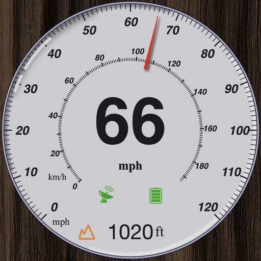
Track , distance, and performance with real-time GPS data. Display in mph and km. Log trips and view historical records. Set alerts and monitor journey details. Sync data across devices for ongoing performance analysis.
Ride motorcycles in a third-person perspective with realistic graphics and engine sounds. Tilt device to steer, touch screen to accelerate or brake. Earn coins to buy new bikes. Play in endless mode. Simple controls for easy gameplay.
GPS measures and displays speed for walking, jogging, cycling, cars, boats, trains, and airplanes. Users can select display units and choose between two scales. Trip recording and average speed tracking are available.
Track and manage deliveries with real-time package scanning and route optimization. Use smart navigation for turn-by-turn directions and address geocoding.
Locate nearby bus and tram stops, bike parking, relay parking, and nearby points of sale. View real-time schedules for upcoming bus and tram arrivals. Find optimal routes combining walking, cycling, bus, tram, funicular, or LER.