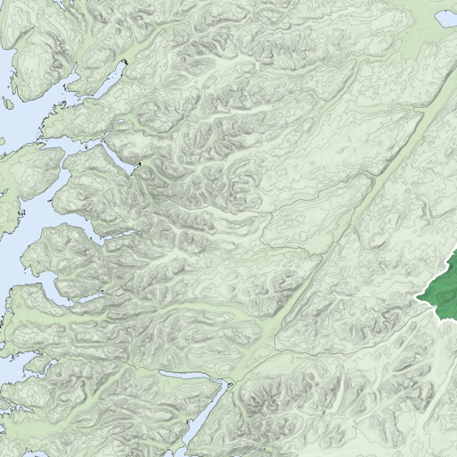
Provides maps for navigation without internet connection. Displays detailed vector maps with continuous updates. Helps avoid roaming charges by using local data. Allows zooming at any level for precise location tracking.
Create GPS traces with waypoints and save them as GPX files. Use offline maps for navigation without time limits or ads. Share track data and contribute to Street Map. Keep routes private and edit existing traces.
Real-time maps and GPS locations. Access satellite imagery and 360-degree views for global exploration. Navigate streets with turn-by-turn directions. Track current location and update maps in real time.
Navigate using a GPS to any saved location. Save current position, input coordinates manually, or extract GPS from photos. View saved points history and export coordinates to Google or Apple Maps.
Browse digital maps with multiple view options including standard Apple Maps, satellite, hybrid, USGS topographic maps, orthophotos, NOAA nautical charts, and Open Street Map. Navigate, zoom, and search for locations across different map layers.