Allows users to browse , search locations, save favorites, and use turn-by-turn . Premium subscription enables traffic-aware routing, activity recording, offline , and elevation map views for terrain clarity.
Learn geography through interactive puzzles. Tap or drag targets to place them correctly. Zoom and pan maps using pinch gestures. Purchase additional maps within the . Track progress and compete for high scores.
Capture photos with GPS, date, and time tags. View live cameras from various locations. Explore 360-degree panoramic images. Navigate using an interactive 3D Earth map. Check real-time traffic and travel updates.
Explore planets, track celestial events, simulate systems
Explore the with 3D models of planets, moons, and asteroids. Rotate and zoom objects for detailed views. Learn about celestial bodies through interactive encyclopedia entries.
Play quizzes to identify countries by shape and location. Access detailed maps with accurate country outlines. Choose from multiple game modes with varying difficulty levels. Track progress and review results.
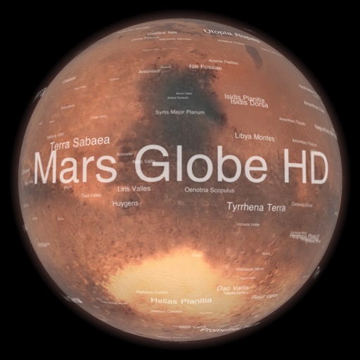
Explore with a high-resolution satellite map and topographic lighting. View over 1500 annotated surface features with detailed information and links. Navigate the virtual freely or follow a guided tour.
Learn through interactive lessons featuring Haley, a child-friendly science teacher. Explore layers, study plate tectonics, and answer science trivia. Engage with narrated content, read, listen, and interact with educational activities.
Play quizzes on obscure facts and unusual aspects of countries. Compete against others in real-time matches. Explore cultural oddities, historical surprises, and unique records. Track progress and unlock new content as you advance.
Learn geography through interactive maps and quizzes
Learn geography by identifying shapes and locations of US states, countries in the Americas, Europe, Asia, and Africa. Study capitals and landmarks with included maps. Track progress through step-by-step lessons and repeated practice.