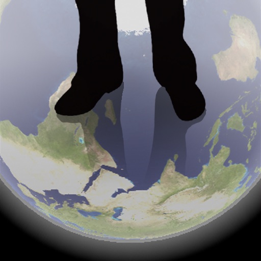
The app shows a transparent view of the earth, allowing users to see the other side of the world beneath their feet. It displays the positions of major cities on a reversed blue marble through a camera overlay view.
Track assets with real-time GPS updates. View location history and set geofences. Receive alerts for movement or unauthorized access. Monitor vehicle speed and fuel levels. Share location data with contacts.
View and navigate electronic charts, including TX-97 vector charts. Access navigational data and additional content. Purchase and download chart folios through the Chart Store. Display real-time positioning and route information.