Apps Like Location Changer Save Share AI for iPhone and iPad
Find locations, coordinates, navigate paths
Track current and specified locations with map views. coordinates or addresses via text or email. Set custom reminders. View orientation directions and distance measurements between points. Sync with other devices for real-time updates.
by CEBINDEKI PAZAR E-TICARET ALISVERIS HIZMETLERI SANAYI VE TICARET LIMITED SIRKETI★ 4.1586 ratingsNavigationFreeData updated 2026-09-06
The app displays map coordinates in multiple grid formats including British Grid, Irish Grid, MGRS, and UTM. It also shows Latitude & Longitude in decimal and sexagesimal notation for global use.
Track altitude with real-time measurements. Use a sensitive compass for accurate direction. Capture latitude and longitude data via camera. Monitor atmospheric pressure and magnetic field readings. Check real-time location data and sync with maps.
Navigate with turn-by-turn instructions and real-time guidance. Choose routes for car, motorbike, bicycle, or walking. Add way-points for optimized paths. Locate nearby hotels, restaurants, hospitals, and ATMs .
Real-time 3D maps with GPS navigation. Access HD views for current locations and addresses. Get driving directions and traffic updates. Receive voice-guided routes for navigation. Sync with global earth map for location-based insights.
Navigate outdoors with a compass, digital level, and elevation tracking. Access real-time weather data and 3-day forecasts. View location coordinates and use emergency for safety.
The app records and exports user trips for geo-tagging or trip management. It displays live paths on a map and provides details like speed, distance, and altitude.
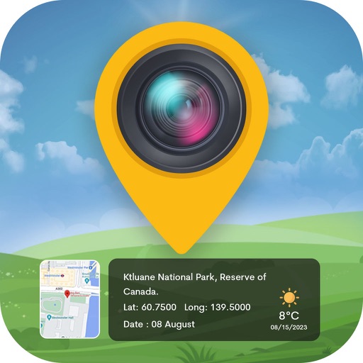
Capture photos with integrated map data and weather information. Adjust settings including grid, aspect ratio, and manual map options. Edit images with map overlays and share directly.
Navigate using real-time GPS and map data. Mark and save locations. Track movement and speed. Share coordinates with others. Use offline maps for areas with limited connectivity. Set waypoints and receive turn-by-turn directions.
Plan using offline and save them to My Map. Pin points of interest with descriptions and photos. Navigate existing or to any location. Record trips and display elevation graphs. Export as .gpx files. Integrate with Garmin. Buy professional .
The app provides over 70,000 topographical maps from Natural Resources Canada and USGS. Users can view maps and search for over a million features without a network connection after downloading.
View celestial positions including sun and moon overhead locations, daylight coverage, and moon phases. Track rise and set times, parallactic angle, and lunar liberations. Display day and night maps in an azimuthal projection.
View detailed maps of Norway with accurate trails, sea routes, and city navigation. Search locations and addresses. Use GPS for auto-rotating maps and compass. Download maps for offline use. No advertisements.