Track vehicle locations and view current position. Search for addresses and navigate using GPS. Estimate time to reach specific locations like ATMs, hospitals, and schools. View maps and update routes in real time.
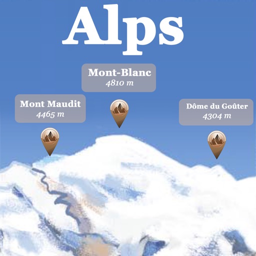
The app references over 20,000 peaks, passes, lakes, and shelters in the Alps. Users can find names, altitudes, and distances to summits and locate various points of interest on a 2D map.
The app searches and displays routes and instructions for driving or walking. It provides simple navigation with an enlarged map view at intersections and customizable alarm sounds near points of interest.
The app converts LSD and BC NTS coordinates. It can also determine the user's current LSD based on location and integrates with Google and Apple Maps for navigation and data viewing.