

Apps Like KLA Maps for iPhone and iPad
KLA Maps screenshots
Ranked alternatives
Showing 481–500 of 1,000 ranked alternatives.

LatLonGO
nfoldROI Pty Ltd
Distribute GIS Information To Mobile Tablets
The app offers a system for distributing GIS information to mobile tablets. It provides 100% app availability online or offline with incremental mobile updates and editing capabilities.

Road Information UK – Real Time Traffic Jams
MobilePioneers
Realtime traffic overview for UK roads.
The app provides a realtime overview of the traffic situation with the ability to zoom in to points of interest. It also includes traffic tweets and news for updates on accidents and roadwork.

UK Parks & Forests GPS OS Maps
Flytomap
UK National Parks GPS Map Navigator
The app provides GPS map navigation for outdoor adventures in UK National Parks. It offers online and offline modes with detailed charts, GPS tracking, and name searching.
Traffic Info Germany – Real time Road information
MobilePioneers
Real time road information for Germany.
The app provides a real-time overview of the traffic situation in Germany. Users can zoom in on points of interest and receive updates on accidents and roadwork through traffic tweets and news.
Road information Spain (ES) Real time Traffic Jam
MobilePioneers
Realtime traffic overview for Spain.
The app provides a realtime overview of the traffic situation in Spain. Users can zoom in to points of interest and view traffic news and updates from traffic tweets.

ArcGIS Indoors (Classic)
ESRI
Navigate indoor spaces and share locations
Navigate indoor spaces using wayfinding and routing features. View real-time location data and share positions with others. Access maps and directories to locate facilities and services. Track movement and receive directions within buildings.


Postcodes & Postbox Search
App Bakery OU
Find postcodes and postboxes fast.
The app helps users find postcodes and postboxes quickly. Users can search for postcodes by address or tap the map, and save selected locations for later access.

TwoNav 6: Routes and Maps
CompeGPS TEAM SL
Explore environments with powerful navigation system.
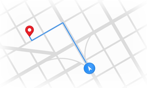
The app transforms a smartphone into a navigation system for outdoor activities. It offers features for route creation, performance monitoring, and live location sharing for enhanced safety.


Tahoe Chain Control
Mumick Mobile LLC
Check status in real time
View real-time restrictions for roads. Check live road conditions via cameras. Access a dashboard showing strictest restrictions per road. See detailed maps with specific locations.


iFly EFB
Adventure Pilot, LLC
Affordable capability for VFR IFR pilots.
The app offers VFR and IFR pilots an affordable, capable, and usable electronic flight bag. It provides pilots with necessary information for safe flight, featuring an intuitive interface and pilot-focused support.



Discover Paris - maps, metro & monuments - free version
Jerome Goursau
Discover Paris with a 3D map.
The app presents a hand-drawn 3D map of Paris, showing major sites and attractions. It provides details for attractions and includes a metro map to aid navigation.
How we rank alternatives
Apps are ranked by functional similarity, category fit, rating confidence, and popularity.