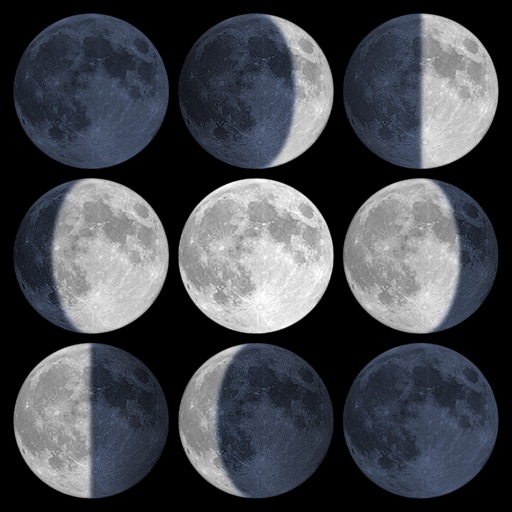
Calculate sunrise, sunset, moonrise, and moonset times based on GPS location or selected locations. Track moon phases and twilight times. Save multiple locations and sync calendars for upcoming events. Support timezone selection and iPad Split View.
Enter coordinates to set waypoints. Navigate to locations using latitude and longitude. View maps with metric or customary units. Track direction and distance. Save and recall multiple waypoints.
Track vehicle locations in real time using GPS. View fleet status on a map. Receive traffic alerts and re-route trips. Lock vehicles remotely. Navigate to stolen vehicles. Manage fleet details through a dashboard.
View current in mph, km/h, knots, and other units. Display altitude above sea level. Track max and altitude during trips. Monitor distance traveled in trips. Check on Apple Watch. Pro upgrade unlocks custom colors, HUD mode, and ad removal.
The app provides vehicle location checking and history playback. It also allows viewing device alarms and uses cloud storage for faster response speeds.
Check current using internal GPS and Wi-Fi data. View latitude and longitude in decimal degrees, degrees decimal minutes, and degrees minutes seconds. Suitable for trips, sports, geocaching, and solo travel.
Track vehicle locations in real time. Manage fleets across multiple locations. Receive alerts for geofence violations. Lock and unlock vehicles remotely. View fuel levels and trip history. Generate reports and set schedules for maintenance.
The app provides a detailed readout of GPS data, including speed and coordinates. Users can see an approximation of their current address if a GPS connection is available.
Track real-time speed and power using a digital . Monitor maximum and average speed during trips. Use a to determine direction, view altitude, and track coordinates.
Control a toy quadrocopter via Wi-Fi. Adjust flight settings and view real-time video feed. Connect to compatible iOS devices for remote operation and data transfer.