Plan routes using detailed topographic and trail data. View points of interest for rest areas, food, and accommodations. Track progress with real-time navigation and route logging. Set waypoints and save custom trails for future trips.
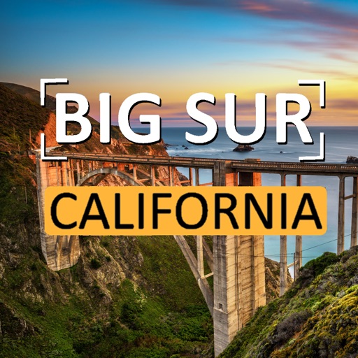
Explore scenic routes along California’s . Navigate from San Francisco to Monterey, then continue to Big Sur, Carmel, and finally Los Angeles. Access detailed narration, maps, and points of interest.
Plan trips with detailed guides, street and public transport maps, and daily itineraries. Find nearby and activities. Use augmented reality to view points of interest. Get local recommendations and read trusted reviews.
Explore with guided audio tours that play automatically along scenic drives. Listen to 340+ points covering top sights and hidden gems. Choose from four tours including the Island Circle Drive and Beaches & Volcanoes routes.
Explore landscapes with guided narration covering jungles, coastlines, and cultural history. Learn about local traditions and the impact of the sugar plantation industry. Discover historical sites and cultural landmarks along the drive.
Explore San with detailed maps, public transport routes, and neighborhood guides. Use augmented reality for location-based info. Access offline maps and navigate steep hills easily.
Plan trips by browsing activities and attractions based on interests. View local events and add them to a personalized itinerary. Share trip details with friends and family. Use augmented reality features for immersive exploration.
Rent electric scooters or bikes with a tap. Locate, unlock, and ride shared vehicles. Track usage and payment through the . View maps and routes for navigation. Lock vehicles remotely after use.
Find current fuel prices in West Coast regions. Locate fuel stations with maps and driving directions. Track carbon reduction with CleanDrive reports. Check vehicle compatibility and fuel specifications. Access support in English and Spanish.
Explore scenic routes with turn-by-turn navigation and real-time traffic updates. Discover points of interest, view photos, and save favorite locations. Listen to narrated guides about landmarks and history.
Explore scenic routes, historic sites, and trails along the Parkway. Find lodging, services, and visitor centers. Access interpretive exhibits and overlook information. Plan trips with detailed maps and driving directions.
Monterey County Destination Marketing Organization, Inc
Explore trails, discover sights, plan trips
Explore guided outdoor adventures and historical sites in County. Find nearby campsites, book tours, and plan routes. Share locations with friends and access real-time weather updates.