Track altitude, elevation, and GPS coordinates. Monitor speed in km/h or mph. View compass direction. Check GPS signal quality. Log location for outdoor activities like running, mountaineering, or traveling.
APPAS SOLUTIONS, SOCIETATEA CU RASPUNDERE LIMITATA
Capture in 45x view
Take photos with 45x digital . Pinch to in or out. Manually focus and capture zoomed images. Access a secret folder for secure storage. Use compass to determine cardinal directions. View GPS coordinates from GLONASS system.
Live Satellite Navigation provides real-time traffic updates and precise voice guidance for accurate route navigation. Multi-mode route planning allows users to select different travel options.
Find direction based on true north. Display compass and direction indicators. Support English and Arabic languages. No advertisements. Lightweight and simple interface for easy navigation.
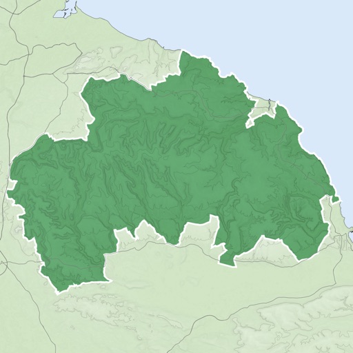
The app provides GPS map navigation for outdoor adventures in UK National Parks. It offers online and offline modes with detailed charts, GPS tracking, and name searching.
Display the direction and distance to the Kaaba using a interface. Tap the Adhan button to trigger a sound. Adjust device orientation to align the Kaaba indicator for navigation.
Measure areas, distances, and perimeters with precise pin placement. Mark and save measurements, name and group them for easy access. Share measured maps with colleagues directly.
The app locates walking, hiking, biking, and horse trails in Southern Nevada. It provides detailed information and photos for each trail, with options to save trails for future reference.
Track speed, distance, altitude, and GPS position during or running. Record and save routes on a map. View detailed statistics for activities like hiking or trekking. Mark and replay recorded routes. Set and monitor performance goals.
Access tickets, season passes, and Bring-A-Friend passes. Add items to digital wallet for entry. Purchase additional items directly. View event schedules and maps. Receive notifications about special offers and events.
View topographic, satellite, and road . Download official IGN for offline use. Find and follow hiking and biking routes across Europe. Record, save, and share routes online. Set waypoints and track progress. Navigate without cellular signal.