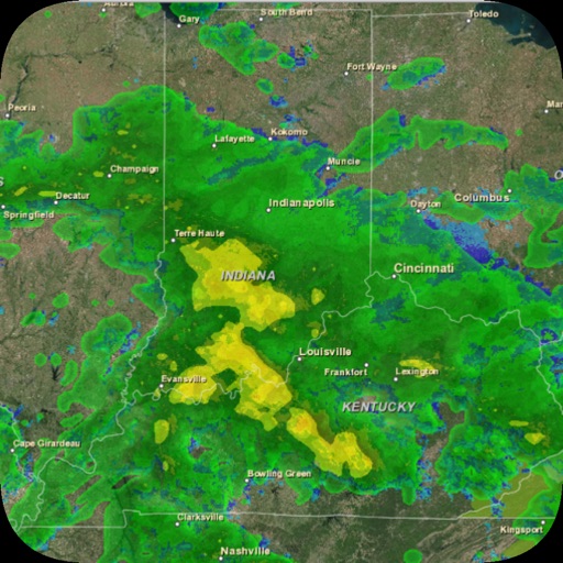
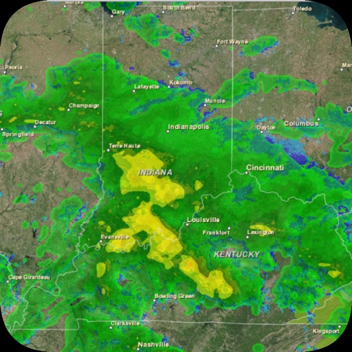
View real-time radar imagery for accurate storm tracking. Receive localized forecasts for specific areas. Get severe alerts tailored to your location. Monitor temperature, precipitation, and wind conditions. Set custom alerts for specific events.
Access real-time alerts from NOAA, view interactive maps for current conditions, and find nearby Red Cross shelters and services. Retrieve step-by-step preparedness guides for tornadoes, hurricanes, and other emergencies.
View global weather data from GRIB files including wind, precipitation, pressure, temperature, waves, and more. Overlay weather information on custom map locations. Watch animated weather maps. Analyze trends and save data for later reference.
Access real-time weather data with customizable storm tracking and radar imagery. Monitor live video and sensor data from cyclonePORT stations. Set alerts for severe weather conditions. Share weather updates and forecasts with others.
The app provides hyperlocal rain timing up to three hours ahead, including start and end times. It offers push alerts for incoming rain, severe weather, and customizable notification settings for weather events.
View live weather radar and satellite imagery. Track precipitation types and lightning. Access high-resolution forecasts using advanced models. Set location-based alerts. Share weather data with others.
The app provides weather information for chosen locations with customizable settings and alerts. It includes interactive radar, future doppler, localized alerts, and video forecasts powered by WPLG Local 10 meteorologists.
View radar data with high-resolution images and forecasts. Track severe weather patterns and receive alerts. Access professional tools like Triple/Quad View Radar Visuals for detailed analysis.
View current on Dynamic Island. Access lock screen and home screen for quick updates. Track storms and hurricanes with detailed forecasts. Plan up to 14 days ahead with hourly and daily data. Set alerts for severe conditions.
Check current , temperature, and conditions. View hourly forecasts and daily alerts. Get precipitation chances and wind speed data. Track trends and receive notifications for severe updates.
Track wind conditions with detailed forecasts, maps, and compass readings. Monitor wind speed, direction, and gusts. Receive push notifications for wind alerts and storm warnings.
The app offers powerful radar features and interactive options for any location. It includes safety features and customizable alerts for severe weather, local news, and power outages.
Receive breaking alerts and view live local headlines from Biloxi and the Mississippi Gulf Coast. Access sports updates, video content, and other local stories. Customize content based on location. Share articles and videos.
The app provides 250 meter radar with future radar and high-resolution satellite imagery. It offers current weather updates, daily and hourly forecasts, and severe weather alerts from the National Weather Service.
Get real-time updates with current conditions and hourly forecasts. View 7-day forecasts and interactive radar maps. Receive alerts and check local school and business closings. Submit photos or videos of local events.
Receive alerts for severe storms in Western North Dakota. View current conditions, hourly forecasts, and 7-day predictions. Access interactive radar maps and submit local photos or videos. Check school and business closings.
View real-time maps showing precipitation types like rain, snow, and hail. Access detailed 24-hour and 14-day forecasts for any location. Receive severe weather alerts and track current conditions globally.