Plan and navigate boating trips by creating routes on Mac and exporting them to iPhone. View high-resolution vector charts with detailed features like buoys and lights. Zoom and pan across charts for precise navigation.
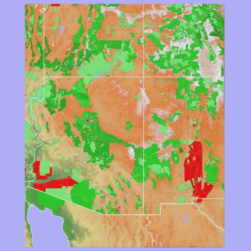
The app provides 3D topographic maps for iPad and iPhone. Vector map data is contained within the app for offline use, supporting navigation in various environments.
Find nearby piers using location services. View real-time schedules and service frequencies. Search for departures and arrival times. Receive notifications for upcoming trips. Sync with calendar for trip planning.
View real-time tide predictions for over 500 locations along the Norwegian coast. Track water levels and measurement station data. Set alerts for high or low tides. Plan activities like kitesurfing, boating, and fishing based on tidal information.