Compare sizes by dragging them on a map. Adjust positions to see size changes based on distance from the equator. Search or tap to select countries. View distortions caused by flat map projections.
The app provides definitions and history for national flags. It also includes official country names, capitals, locations, area, population, and national anthems.
Explore country profiles with population, languages, government, and GDP data. Access high-resolution and regional views. Download national flags and offline. Search for locations and view detailed geographical information.
Learn by answering quizzes about countries, capitals, and flags worldwide. Play free quizzes for all regions or subscribe for additional content. Track progress and test knowledge on different continents.
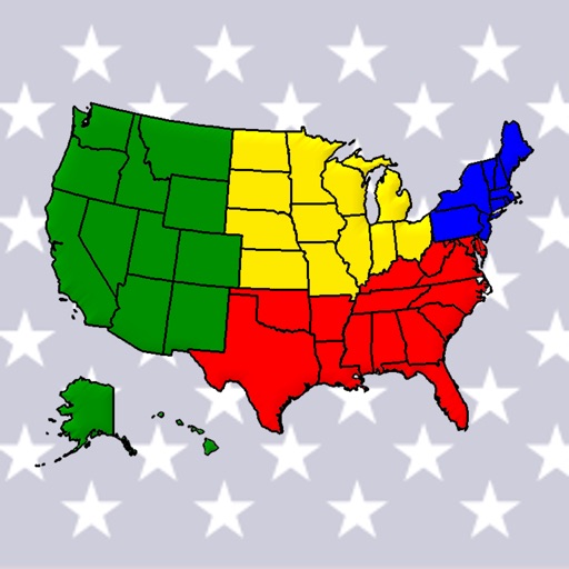
Learn U.S. , capitals, and flags through interactive map exploration. Scroll, zoom, and tap to identify locations, capitals, and flags. Track progress with a star system. Access regions like the West and Midwest for focused learning.
Guess , flags, or capitals by selecting from multiple choices. Track progress through levels. Play without registration. Complete puzzles to advance. View hints for difficult questions. Share scores with friends.
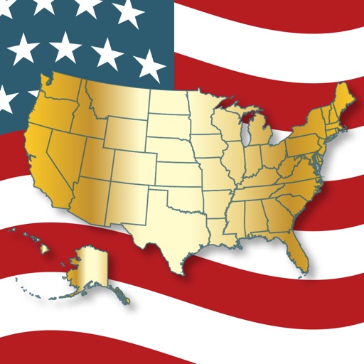
Learn U.S. by clicking on the map or searching the state list. View details such as region, abbreviation, capital, area, population, and largest . Identify and on the map through quizzes.
Explore country details with comprehensive profiles containing 170+ data points. View maps, flags, and key statistics. Search by country name or region. Compare economic, social, and political information. Save favorite countries for quick reference.
Learn country names, capitals, and through interactive quizzes and matching games. Track progress with a statistics panel. Adjust difficulty based on knowledge level. Compete in timed challenges and review mistakes.
Knowledge with questions on topics like population, religion, and capitals. Shuffle questions randomly each session. Skip unknown answers. Play one-on-one multiplayer matches.
Learn country capitals, landmarks, and geographic locations through interactive gameplay. Drag and drop animated countries to match their correct positions. Earn points by correctly placing countries and track progress with a score system.
Test your geography knowledge with quizzes on countries, US states, capitals, and landmarks. Answer multiple-choice questions, earn points, and track progress. Compete against friends or play solo. Share scores and view detailed results.
Quiz game teaches country and capitals through . Play solo or multiplayer with global players. Choose from 5 game types and 11 difficulty levels. Each level includes 20 , 20 capitals, or 20 currencies. Track progress through increasing difficulty.
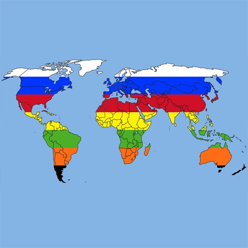
Test geography knowledge with modes including world and continent-based challenges. Identify in a detail-focused challenge. Review of 199 in list mode with accurate proportions. Correct answers are tracked during gameplay.
Receive live warnings with real-time tracking across all 50 states. View active warnings with polygon boundaries on maps. Access affected population and county data. Get daily activity summaries.
Learn geography through interactive maps and quizzes
Learn geography by identifying shapes and locations of US states, countries in the Americas, Europe, Asia, and Africa. Study capitals and landmarks with included maps. Track progress through step-by-step lessons and repeated practice.
Learn national and with interactive quizzes. Answer questions about country details. Access fun levels from Trainee to Legend. Receive hints during gameplay. Play offline without internet. Includes interesting facts about and .