The app identifies 37 snake species found in North Carolina with descriptions, multiple images, and range maps. It also offers information on snake roles in ecosystems, conservation, and snakebite first aid.
Document classroom interactions by tracking dialogue patterns, recording notes, and capturing student work photos. Analyze time distribution across teaching modalities and review data for student-focused discussions.
The app creates an interactive trail of trees for users to connect and share. It allows exploration of tree benefits and finding living examples of tree species nearby.
Monitor field conditions using rainfall and temperature data. Track issue detection alerts and receive quantified reports. Prioritize fields for scouting and navigate to at-risk areas. Record observations with quick clicks.
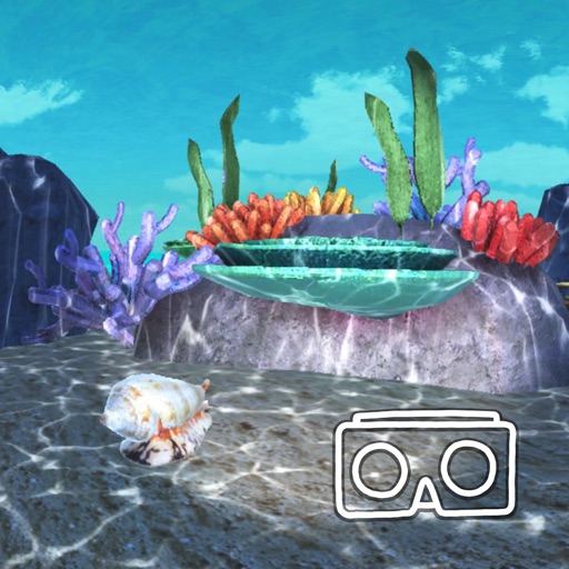
Explore marine ecosystems through virtual reality. Study abiotic factors' impact on biotic factors in diverse environments. Document findings in a digital science journal. Navigate between virtual expeditions and journal entries.
Record bird observations with time, location, and count details. Edit entries to adjust location, time, or bird numbers. Create and organize bird checklists. Share observations and view maps showing observation locations.
QR Scanner & Data Manager allows users to scan QR codes for sample tags and documents. It processes and validates diagnostic data in real time. Users can organize field data, manage sample records, and generate reports.