See future locations, track friends, find convergences
Predict future locations using location data. View friends' movement patterns over time. Identify potential meetings by comparing trajectories. Share location history and set visibility preferences. Receive notifications about proximity alerts.
by The Time Travel Company, LLC★ 4.711 ratingsTravelFreeData updated 2026-09-06
Book rides and track vehicles in real-time. Pay for trips through the . Set future ride times. Access low flat rates for airport transfers. View driver details and estimated arrival times. Confirm ride details before departure.
Track visited locations and experiences with a detailed log. Plan and reflect on trips by reviewing past visits. Set goals and monitor progress over time. Share trip details and revisit memories through saved records.
Book a taxi quickly with passwordless registration and business account login. Estimate trip costs and view driver details. Track vehicle location and schedule future rides. Automate expense tracking through business accounts.
Plan and for any location. Predict sky conditions like clarity, color, or drama. Track golden and blue hours for optimal photography or outdoor activities. Share forecasts with others.
Find EV with details on charger types, costs, and availability. Search by location, filter by connector type, and view real-time status. Share locations with others and get directions to stations.
Set position using Smart Drop or map selection. Monitor status and receive alerts. Access community data for sailing conditions. Track boat location and receive notifications if movement is detected. Share location with trusted contacts.
Track vehicle location using GPS. Monitor driving behavior and trips with visual reports. Receive alerts for vehicle status and safety notifications. Locate the car remotely from any location. View trip details and driving patterns.
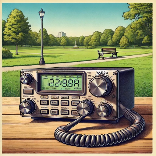
Find nearby parks or summits using location data. Enter your callsign and frequency to send spotting messages via SMS over satellite. View maps with points of interest. Track POTA and SOTA activities . Share spotting reports directly.
Report non-emergency city issues like potholes and illegal parking. Submit service requests anytime, upload photos for better clarity. View request status and communicate with city staff directly.
Save car locations using GPS without maps. cars with a pointer without maps. Set map rotation for better orientation. Enable location history for past saves. Access advanced settings for customization.
Find nearby restaurants, bars, and activities based on time of day or occasion. Filter options include breakfast, lunch, dinner, night out, and weekend plans. Set location and preferences to receive curated recommendations.
Measure distance by dropping pins or drawing paths on a map. Calculate total distance and segments between locations. Search and auto-complete locations. Use current location. Save and share custom maps. View Standard, Hybrid, or Satellite map types.
Track across multiple with real- . Set alerts for daylight saving changes. Display current , date, and in widget format. Share information via copy-paste. Sync with calendar events for automatic adjustments.
Receive real-time alerts for speed cameras and traps. Detect signals from cars, motorbikes, trucks, and commercial vehicles. View alerts on a map and set custom zones. Sync with devices for notifications.
Book rides for cars, bikes, or rickshaws. Set pickup and drop-off locations. Track vehicle location in real time. Rate drivers after each trip. Receive notifications for status updates.
Find locations and activities. Search for dog parks, hiking trails, and hotels. Share photos and experiences with other pet parents. Plan trips and create itineraries for pets. Receive recommendations based on location and pet type.
Receive notifications on Apple Watch when away from iPhone. Track proximity with 1-7 minute connection periods. Set alerts for important messages and calls. Syncs with Apple Health for location data.