Apps Like THINKWARE DASH CAM LINK Legacy for iPhone and iPad
Replay videos and manage settings
Access recorded driving videos for playback. Manage cam settings including storage, alerts, and camera angles. View trip data and sync with compatible devices for remote monitoring.
by THINKWARE SYSTEMS CORPORATION★ 1.312 ratingsNavigationFreeData updated 2026-09-06
Track asset locations in real time and view historical data. Modify asset details and access GPS tracking accounts. Monitor movement patterns and manage device settings remotely.
Book trips within Lone Tree city limits using a free . Select from ADA-accessible, family-friendly shuttles with professional drivers. Share rides with others heading in the same direction. Reserve seats and track your journey in real time.
Smartphone motorsports telemetry and video system.
The app transforms a smartphone into a motorsports telemetry and video system. It records lap times, video, and telemetry data, allowing for analysis and comparison of circuit laps.
View nautical charts in S-57, S-63, iENC, and BSB/KAP formats. Use external NMEA/AIS data over WiFi. Display official HO S-57/S-6 charts. Navigate river, channel, and harbor routes. Access real-time positioning and vessel tracking data.
Calculate altitude using GPS, ASTER, or barometer (iPhone 6 and later). Display average altitude from GPS and ASTER data. Show peaks, compass, and distance grid on an integrated map. Support Apple Watch. Choose unit of measurement.
View topographic of the United States with options for standard or hybrid map sources. Download for offline use and track current location on the map. Navigate using map features and explore terrain details for outdoor activities.
Real-time monitoring displays current via a virtual dashboard. Set limits to receive alerts. Track driving history and statistics. Share trip data with others. Syncs with iPhone for accurate GPS readings.
View course maps and photos of jumps from over 14,000 global events. Access interactive maps for competitions. Review past courses to prepare. Plan rides and visualize courses to improve performance.
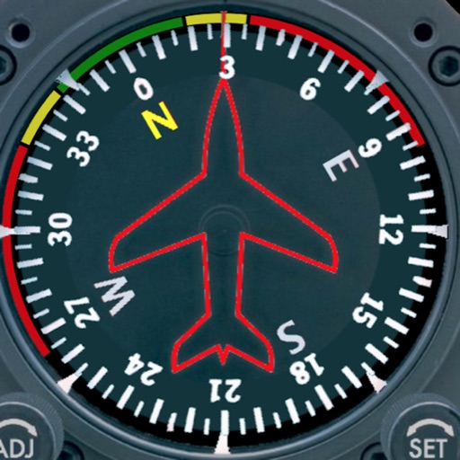
Displays a photorealistic -style indicator with both analog and digital readouts. Users can toggle rotation lock, simulate the instrument indoors, and view improved graphics. Supports latest iOS versions and includes bug fixes.
Find hot across the USA with detailed location data. View temperature, local weather, nearest city, and search results. Access offline maps and monthly updated database. Tap to see driving distance and time from your location.
Book rides by entering pickup and dropoff addresses. Choose from multiple ride options and receive directions to a nearby pickup location. Share rides with others to split costs. Track ride progress and communicate with drivers in real time.
Displays current wind direction and speed, runway course, and cross, head, or tailwind components. It shows applied wind limits, forbidden wind angles, and a maximum wind speed table. Users can set up wind parameters for accurate flight evaluations.