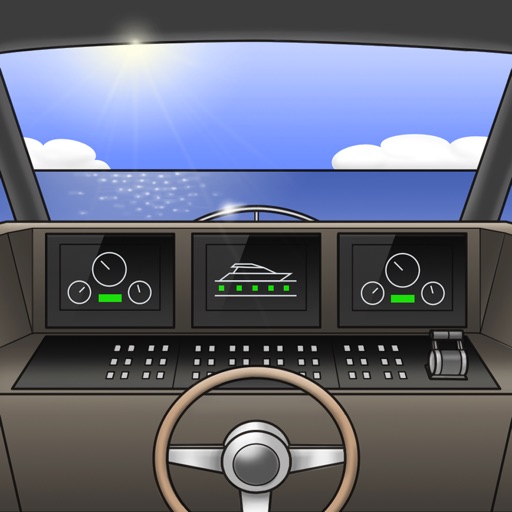
The app displays ship data and allows remote control of ship functions. It can be integrated into existing onboard networks and offers a customizable interface for operational safety.
Measure distances and angles using a rangefinder and inclinometer. View real-time compass direction and GPS location. Overlay maps and take geo-tagged photos or videos. Calculate navigation routes and track elevation changes.
The app displays a properly colored and positioned bow light on the user's device. It also functions as a flashlight if the device is equipped with one.
Displays speed and direction on the windshield via iPhone placement. Tap to switch between mirrored and un-mirrored views. Tap MPH/KPH button to change units.
Outdoor navigation technology for every adventure.
The app offers worldwide maps with contour lines and trails for offline use. Users can manage routes, view elevation profiles, and share data with the Terra Map community.
Real-time maps and GPS locations. Access satellite imagery and 360-degree views for global exploration. Navigate streets with turn-by-turn directions. Track current location and update maps in real time.
Monitor vehicle location, battery health, and mileage in real time. Track trip history and integrate with maps for navigation. Receive stolen vehicle recovery assistance and locate your car instantly.
Find real-time EV points on a map or via search, filtered by connector type and power. Scan QR codes to initiate pay-as-you-go charging. Monitor charging sessions in real-time.
Provide turn-by-turn for 66 in both directions. Notify users about historical sites along the . Offer voice guidance in multiple languages. Support Apple CarPlay integration. Enable offline map usage in areas with limited connectivity.