View 3D topographic maps of offline with vector data. Navigate by car, boat, plane, or on foot. Access worldwide satellite maps online with automatic caching. Toggle between map types and zoom to any location.
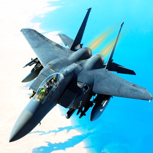
Fly a jet in battles. Engage in aerial combat against enemy jets, tanks, and helicopters. Defend territory by destroying ground targets. Complete missions to protect borders from invasion. Upgrade weapons and unlock new aircraft.
Calculate flight metrics for Beechcraft aircraft including takeoff, landing, climb, cruise, descent, and instrument procedures. Include turbonormalizer and tip tank options. Compute emergency glide distance with wind adjustments.
Explore a lifelike 3D environment to learn about animals. Use a drone or car to locate animals and take photos or videos. Scan items with a drone to unlock encyclopaedia fact sheets. Mount and ride animals for interactive learning.
View real-time HD video feed from the drone. Capture and control photos and videos remotely. Organize media files in a structured library. Operate drone functions through a centralized remote control interface.