
NAIPS
OzRunways Pty. Ltd.
Pilot weather and notam information.
The app provides pilot weather and notam information from Airservices Australia. Users can submit flight notifications, amend flight plans, and access location briefings and charts.

Showing 281–300 of 1,000 ranked alternatives.
OzRunways Pty. Ltd.
Pilot weather and notam information.
The app provides pilot weather and notam information from Airservices Australia. Users can submit flight notifications, amend flight plans, and access location briefings and charts.

Paul Joly
Track weather, view stars, share sightings
Plan stargazing sessions with accurate weather forecasts and astronomical data. Track celestial events like meteor showers and planetary alignments. Share observations and connect with other astronomy enthusiasts.

iFlightPlanner, LLC
Plan flights, track weather, and navigate routes
Plan and manage flights with auto-routing and real-time data. Sync flight details between devices. View weather, airspace, and airport information. Log flight details and track progress. Share flight plans with others.



Mikel Steffen
Track and view forecasts
View real-time with a dynamic, ever-changing world that reflects current conditions. Track precipitation, temperature, and wind. Receive accurate forecasts using Dark Sky data. Customize the environment with interactive elements.




Washington State University
Track current weather conditions
View current weather conditions including temperature, humidity, wind speed and direction, precipitation, solar radiation, and soil data from 560+ stations. Access 24-hour historical observations and hourly forecasts.

The Iconfactory
Track waves, rain, and tides in real
Track real-time conditions for coastal and water-based activities. View wave heights, wind speeds, and tide schedules. Receive alerts for storms and hazardous . Share current conditions with others.


Holger Hanisch
Maritime weather for navigation and sailing.
The app provides current and future weather conditions for maritime navigation. It offers detailed weather maps and reports for the North Sea, Baltic Sea, and Mediterranean, including wind and analysis maps.

Pico Brothers Ltd.
Learn ten necktie knots easily.
The app teaches users how to tie ten different necktie knots using step-by-step animations and photos. It also provides notes on when to use each knot for various occasions.
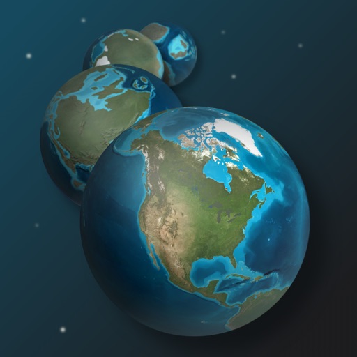
Howard Hughes Medical Institute
Explore ancient Earth maps and climate data
Explore Earth's geological history by visualizing continents, oceans, and climate changes over billions of years. Adjust time scales to view past landscapes, track sea level shifts, and observe planetary transformations.

Apps are ranked by functional similarity, category fit, rating confidence, and popularity.