
Zenbus
JOUL
Real-time public transport tracking application.
The app provides real-time bus and shuttle tracking on select public transportation networks. Users can view vehicle locations on a map as the network coverage expands.

Showing 441–460 of 1,000 ranked alternatives.
JOUL
Real-time public transport tracking application.
The app provides real-time bus and shuttle tracking on select public transportation networks. Users can view vehicle locations on a map as the network coverage expands.


Static Motion
Motorcycle routes for every rider.
The app provides motorcycle routes near the user or a selected location. Users can search for routes by region, text, or map location and download GPX files.


MB AE digital
Track objects in real time
Monitor real-time vehicle data including location, speed, and status updates every ten seconds. View altitude, address, and ignition status. Access tracked object information without refreshing or relogging in.


B GLOBAL BV
Access SOTERSAT services anytime anywhere.
The app provides mobile access to SOTERSAT services. Users can view fleet overviews, car details, and locations.


Kevin Siml
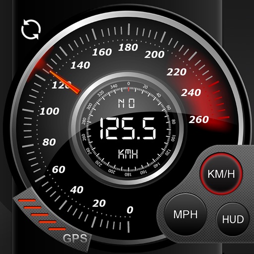
Track , distance, and
Record data including , average , distance, altitude, and elapsed time. View real-time GPS tracking with longitude and latitude. Monitor statistics and save history. Sync with devices for offline navigation.


The University of Queensland
Navigate UQ campuses indoors and outdoors.
The app provides outdoor and indoor maps and navigation across UQ campuses. Turn-by-turn wayfinding helps users find their next class, meeting, meal, or study spot.



Apps are ranked by functional similarity, category fit, rating confidence, and popularity.