Allows users to access and monitor iPhone sensors like GPS, accelerometer, gyroscope, and barometer. View real-time from each . Export readings as CSV files. Create custom combinations and visualize graphs.
Receive current coordinates and manage location data. Locate nearby places based on coordinates. Share coordinates via SMS, email, or copy-paste. Search for nearby locations using coordinate input.
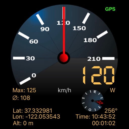
Track displays current position, longitude, latitude, altitude, air pressure, magnetic field strength, and speed. Includes real-time positioning and map functionality. Offers 360° rotating styles for direction identification.
Convert GPS coordinates to UTM and RD Rijksdriehoek formats. Input coordinates in decimal degrees, degrees decimal minutes, or degrees minutes decimal seconds. Use a dedicated keypad for UTM entry. Display results for both UTM and RD systems.
Find oil and gas locations across specified U.S. states. Get turn-by-turn directions. View well data and weather forecasts. Drop pins to identify locations. Share well information and coordinates.