

Apps Like Trak Print for iPhone and iPad
Trak Print screenshots
Ranked alternatives
Showing 301–320 of 1,000 ranked alternatives.
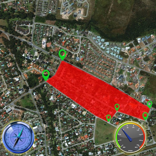

Street View Live Satellite Map
Uchadadiya Nirali
Explore streets and landmarks with 360° views
Explore streets and landmarks with 360° panoramic views and detailed maps. Plan routes, search for nearby locations, and and terrain imagery. Navigate with real-time map updates and interactive -level perspectives.


SkiPal - Accurate Ski Tracker
MYSTIC MOBILE APPS LLC
Track skiing routes and analyze trips
Track skiing routes with real-time location data and detailed trip measurements. View visualized routes on maps with distance and elevation metrics. Log ski sessions and analyze performance statistics.


Krapf Transit
Saucon Technologies inc.
Real-time vehicle location and arrival predictions.
The app provides real-time vehicle location information and arrival predictions. Users can view an interactive map showing shuttle locations, browse routes and stops, and access schedules.

Camino Connections
Timothy Ringering
Track progress, book stays, find meals
Plan journeys with customizable daily itineraries and track progress using elevation charts. Find meals and book accommodations along the path. Access live weather updates and a detailed walking guide.


MapX: GPS Navigation, Radar
Makvana Nilesh
Navigate with real-time GPS updates
Provide real-time GPS navigation with turn-by-turn voice guidance and live traffic updates. Display speed limits and alert drivers to traps. Access offline maps for areas without internet. Share routes and track progress during trips.

RealityMaps 3D tour planner
3D RealityMaps GmbH
Track routes and explore 3D maps
Plan and track outdoor routes with 3D terrain views. Measure elevation changes and distance. Save and share custom trails. Access real-time GPS navigation and offline maps. Adjust routes based on elevation and difficulty.



GK Field Mapper
GK Technology, Inc.
Track GPS locations and visualize maps
Survey points, lines, and polygons with GPS tracking. Log full GPS data for fields. Create quickmarks during surveys. Visualize data in map view. Use internal or external GPS devices.

Route Scout - GPS Topo Mapper
Joseph Bartels
Record hikes and track routes
Record outdoor activities with topographic maps, waypoints, and elevation tracking. Log mileage, speed, time, and moving averages. Set breaks and receive audio alerts for splits and off-trail notifications. Import GPX files and auto-follow last .

Waymarked Trails
Waymarked Trails LTD
Explore with local audio guides
Access audio guides narrated by local experts for scenic . Navigate with offline maps that function without internet or cellular connection. View photos and detailed trail information. Share trail notes and location data.


How we rank alternatives
Apps are ranked by functional similarity, category fit, rating confidence, and popularity.