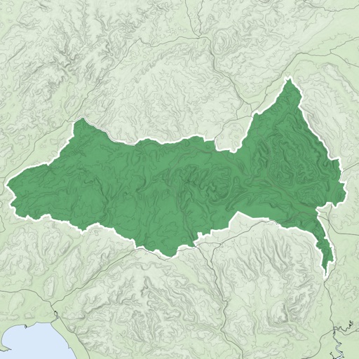
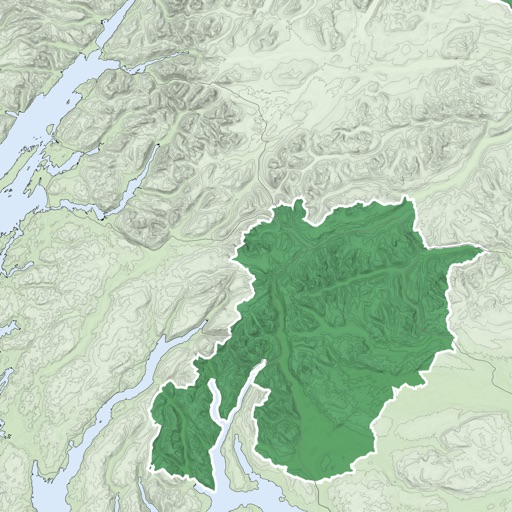
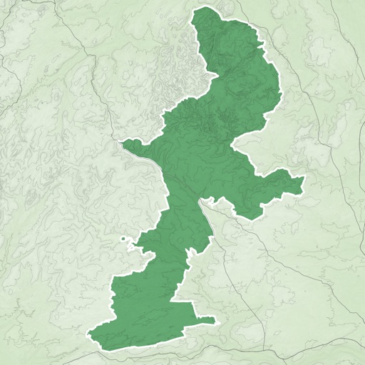
Explore 17 km coastline and 9 hinterland by foot or bike. View points of interest and navigate routes with detailed maps. Access walking and cycling paths, historical sites, and scenic viewpoints. Share locations and track progress along .
Navigate using terrain-aware offline maps and star navigation. Access on-device AI for guidance without internet. Communicate via offline Wifi/Bluetooth Mesh for peer-to-peer coordination.
Track bus locations in real-time. View live arrival estimates at stops. Receive notifications for schedule changes. Plan routes using interactive maps. Set stop alerts and view service updates. Share trip details with contacts.