Étoile d'Aï
Senten Sarl
Modify landscape by changing light color.
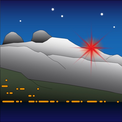
The app allows users to modify the landscape by changing the color of the light. It represents Étoile d'Aï, a light located in Switzerland at an altitude of 2048 meters.

Showing 361–380 of 1,000 ranked alternatives.
Senten Sarl
Modify landscape by changing light color.
The app allows users to modify the landscape by changing the color of the light. It represents Étoile d'Aï, a light located in Switzerland at an altitude of 2048 meters.

SoftBit Technologies Inc
Track traffic, detect road work, avoid closures
Monitor traffic flow by analyzing vehicle density in each lane. Detect road construction, closures, accidents, and police vehicles. Identify potholes and available parking spaces using live camera input.


ITSNODE LLC
See California highway incidents live.
The app displays real-time California Highway Patrol incidents on an interactive map. Users can view collisions, hazards, road work, and closures, and tap incidents for full details and live updates.

阳 沈
Explore maps, navigate offline, access details
Access detailed world maps and high-resolution regional maps of 165 countries. View administrative, topographic, and climate maps offline. Use without internet or ads. Navigate and zoom in for precise geographic information.


DongGuan AliPrice Co. Ltd.
Shop translated product pages
Browse product listings on Taobao, 1688, Pinduoduo, and Yiwugo. Translate Chinese text to your device's language. Search for similar products. Access coupon codes and discounts. Compare prices across platforms.
Reeba Sebastian
Get vehicle registration details
Access vehicle registration details including name, address, and model via online or SMS. Retrieve driving license information. File complaints. Check temporary registration details. View penalty status.

Jayesh Vagadiya
Practice tests for DMV written exams
Prepare for the DMV written with state-specific practice exams. Review manual sections, take multiple practice tests, and track progress. Receive instant feedback on answers and study weak areas.


Bundesamt fuer Landestopographie
Navigate with detailed Swiss maps
View detailed Swiss maps with scales from 1:10,000 to 1:1 million. Access current aerial images and historical maps. Explore hiking trails, mountains, and snow sports routes. Use offline without login or ads.


Onyx Technologie OG
Outdoor and Hiking Navigation ape@map
The app provides offline GPS navigation for outdoor activities. It includes over 70,000 tours for hiking, biking, and skiing, with details like reviews, elevation models, text, and images.


Apps are ranked by functional similarity, category fit, rating confidence, and popularity.