

Apps Like Red Tide Map for iPhone and iPad
Red Tide Map screenshots
Ranked alternatives
Showing 521–540 of 1,000 ranked alternatives.
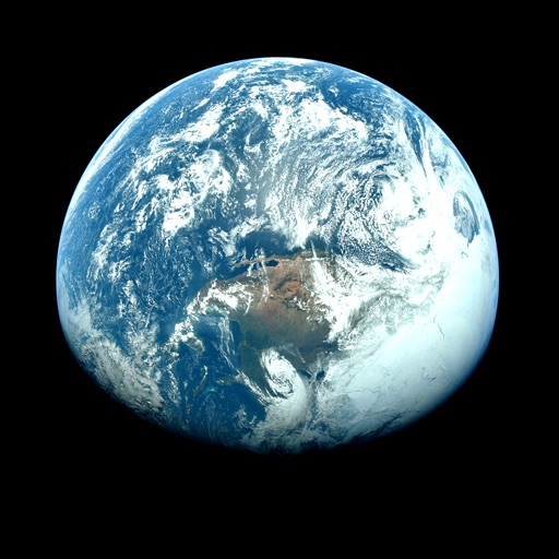
Orbiter - Earth Visualizer
Rayner Software
View satellite images and time-lapse overlays
View satellite imagery and time-lapse data to analyze features. Compare images using an A/B slider. Visualize environmental data like air pollution, vegetation, and sea ice. Explore unfiltered satellite views from the ESA’s Sentinel-2 satellites.

KTVU FOX 2 SF: Weather
Fox Television Stations, Inc.
Bay Area weather from FOX 2.
The app provides local Bay Area weather forecasts, including radar, traffic, and 7-day outlooks. Users receive storm alerts, air quality updates, and earthquake notifications.


King County Flood Warning
County of King
Track alerts and river levels
Track conditions with real-time river flows and stage data. View forecasts and current phases for specified rivers and creeks. Access hydrographs to analyze multiple days of river data. Receive alerts for changing conditions.


Sun n Moon for iPad
David Gibson
Sun and moon times anywhere.
The app calculates sunrise, sunset, moonrise, and moonset times for any location. It includes a moonphase calendar, animation, and a compass showing sun and moon positions.
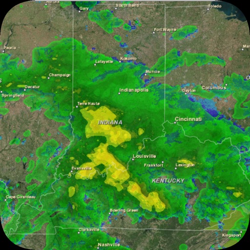
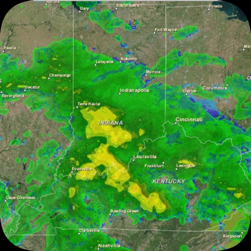


CubaTiempo
Tecso Solutions LLC
Check weather and forecast updates
Check current weather, temperature, humidity, wind speed, sunrise, and sunset times. View multi-day forecasts and satellite images for Cuba. Access real-time data from NOAA satellites. No internet required for basic features.

Radar Pro
David Neel
View up-to-date weather radar data.
The app displays current weather radar data from the United States National Weather Service NEXRAD Level 3 Radar Network. It allows users to view storm motion through animation and marks the user's current location on the map.

Saltwater Tides
Tide High and Low, Inc.
Tide, moon, and sun predictions.
The app provides tide, moon, and sun predictions for the Gulf Coast, US East Coast, and US West Coast. Users can find predictions for tide heights and times, sunrise and sunset times, and moonrise and moonset times at over 2500 locations.
ClimaTok
JUAN GIL
Watch weather animations and track forecasts
View global weather maps with fluid animations and interactive layers. Track weather patterns, monitor precipitation, and analyze temperature changes. Set location-based alerts and access detailed forecasts for multiple regions.



How we rank alternatives
Apps are ranked by functional similarity, category fit, rating confidence, and popularity.