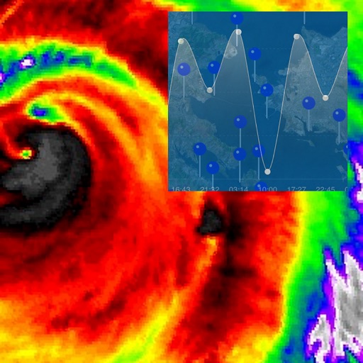
The app enables users to map flooding and document sea level rise impacts. It allows participation in crowd-sourcing events to capture localized data and find nearby trouble spots where high water affects travel.
Monitor marine conditions for fishing and boating. View wave forecasts and NOAA ocean data. Check sea surface temperature, chlorophyll levels, and water clarity. Access real-time tide information and sun/moon phases.
Receive breaking alerts and weather updates for your location. Customize alert preferences in settings. Access local coverage from NBC 5 DFW. Watch 24/7 streaming channel. View weather forecasts and severe weather alerts.
The app allows users to submit photos of coastal events to state agencies. Users can photograph storm damage, king tides, and other events, pinpoint their location, and upload the data.
Nautical information for professional planning navigation.
The app provides nautical information for multiple sea areas including the Atlantic and Pacific. It offers weather reports, forecasts, maps, and NAVTEX radio messages.
Track volcanic activity with real-time updates and . View eruption history and current status. Explore global volcano locations with maps. Receive notifications from VAAC. Save and share volcano data.
Subscribers adjust "Secret Spots" using sliders to view swell sizes at local breaks. Access real-time buoy data from global sources including NOAA, Storm Glass, and buoys across continents.
The app displays tide times, light times, sunrise/sunset times, and moon phases for over 720 locations. It shows data in local time, adjusted for daylight saving, and heights in metres without requiring an internet connection.