The app scans QR codes using 2D bar code reading technology. It stores scanned codes in the History tab and can redeem coupons generated by the Quarkode platform.
The app provides coordinate reading and navigation for users needing exact position data. It supports multiple coordinate formats and works without a connection for conversions and saved places.
The app provides tourist information and an offline map for the city of Gyula. Users can explore points of interest and access basic information automatically when approaching them.
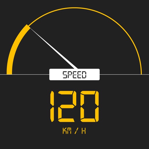
Tracks current, maximum, and average speed using GPS. Displays speed in analog and digital formats with colorful LED. Records distance traveled and trip time. Functions as a trip meter and for vehicles, walking, running, biking, and boating.
The app provides offline maps and information for over 60 hikes in Rocky Mountain National Park. It tracks user progress, shows distance to destinations, and offers detailed hike information including elevation and trailheads.