The app calculates dead fuel moisture and fire ignition probability. It uses temperature, relative humidity, shade, sun exposure, terrain slope, and time of day for its estimations.
The app guides users to historic spots on the Malvern Hill battlefield. Virtual signs provide access to videos, audio accounts, photos, and battle facts.
The app provides a voice-narrated, GPS-enabled tour of Myrtle Hill Cemetery. It includes historic photos and stories from Rome's founding to the present day.
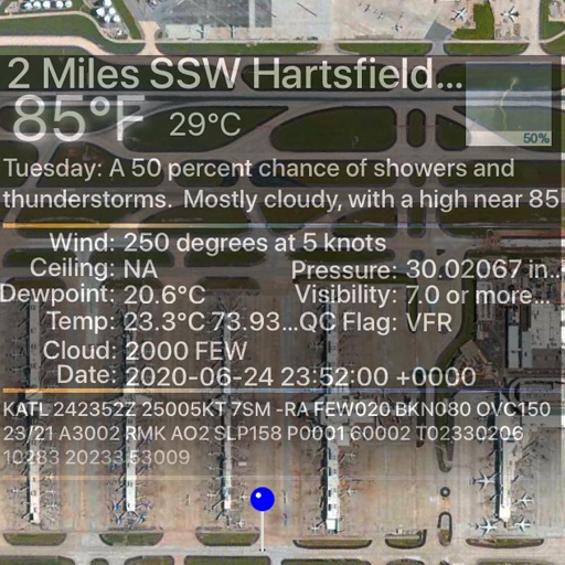
The app calculates temperature-corrected altitudes for various instrument approaches. It integrates weather, runway, and de-/anti-icing data into a clear workflow to reduce workload and improve situational awareness.