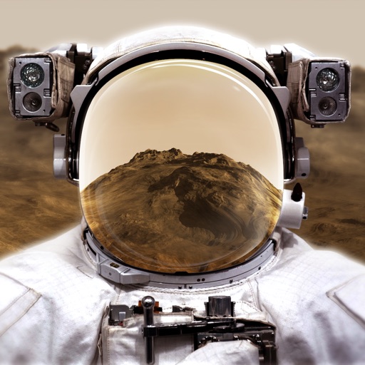
Explore through a virtual reality experience using a smartphone and cardboard VR viewer. Navigate the surface, learn about planetary features, and access interactive educational content about the planet.
Turn your iOS device into a digital depth finder. View real-time depth readings adjusted for tide levels. Access live tide data and NOAA RNC nautical charts. Navigate coastal waters, Lakes, and Lake Champlain. Set and track ports of call.
Track and times across Gregorian, Islamic lunar, and Solar Hijri calendars. Convert between systems. Set reminders for religious and cultural events. View calendar views for different traditions. Sync events and manage time zones.
The app records boat trips with GPS position, course, speed, and duration. Users can log weather, crew, boat details, and incidents, with access to speed and distance statistics.
Calculate performance data using actual values from the II Pilot's Operating Handbook. Interpolate results and view high-resolution graphics. Plan flights quickly with real-time updates and detailed performance metrics.
The app calculates and plots frequency and density functions for the standard normal distribution. It computes one tail, middle, two tail, and cumulative density functions, along with raw frequency functions.
Measure distances, perimeters, and areas by placing pins on a map. Calculate dimensions and save measurements. Share results via email or export as a file. Sync with other devices for collaborative projects.
Browse digital maps with multiple view options including standard Apple Maps, satellite, hybrid, USGS topographic maps, orthophotos, NOAA nautical charts, and Open Street Map. Navigate, zoom, and search for locations across different map layers.