Find nearby stations based on current location. View list with distance information and map display. Navigate between stations with real-time distance calculations.
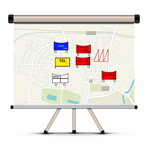
The app allows users to create and edit tactical maps with over 1600 symbols from various organizations. It supports custom map materials, drawing functions, and the ability to record situation reports directly within the application.
The app calculates the expected foreign service allowance and remaining days for deployed soldiers. It provides a live overview of the amount earned, remaining days, and days completed, managing multiple deployments offline.
Track inventory with real-time updates on intake, returns, and inventory counts. Sync data wirelessly to KWP booking systems. Generate UGS files for orders based on recorded item numbers.